Title
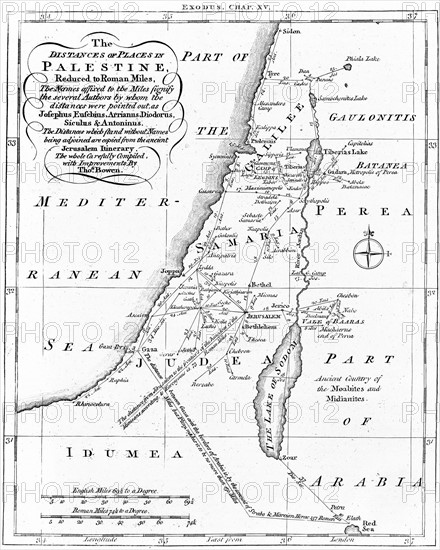
Map of Palestine showing distances in Roman miles
Caption
Map of Palestine showing distances in Roman miles. Based on various ancient authors and the 'Jerusalem Itinerary'
Engraving c.1830
Date
1830
Credit line
Photo12/Ann Ronan Picture Library
Reference
ARP07093_390000153
License type
Rights managed
Available size
46,5Mb (2,9Mb) / 12,0in x 15,0in / 3608 x 4500 (300dpi)