Title
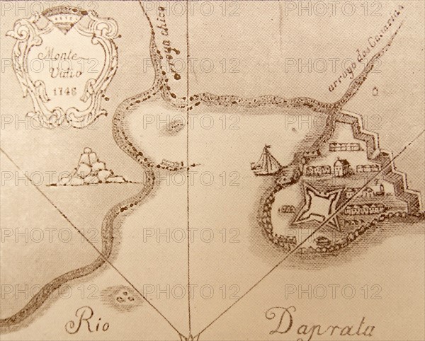
Map of Antigua during the 18th Century
Caption
Map of Antigua during the 18th Century
Date
18th century
Credit line
Photo12/Ann Ronan Picture Library
Reference
ARP17A24_489
License type
Rights managed
Available size
60,0Mb (5,5Mb) / 17,0in x 13,7in / 5105 x 4108 (300dpi)