Title
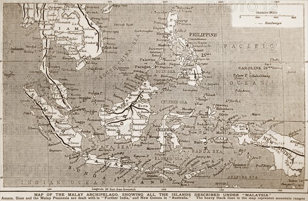
1900 Map of south East Asia
Caption
1900 Map of south East Asia showing the Philippines; Malaya; Indonesia (Dutch East Indies).
Date
1900
Credit line
Photo12/Ann Ronan Picture Library
Reference
ARP17A26_265
License type
Rights managed
Available size
60,0Mb (4,6Mb) / 18,9in x 12,4in / 5656 x 3708 (300dpi)