Title
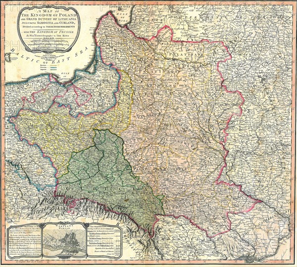
Map showing the partition of the Kingdom of Poland and the Grand Duchy of Lithuania
Caption
Map showing the partition of the Kingdom of Poland and the Grand Duchy of Lithuania. 1799
Date
1779
Credit line
Photo12/Ann Ronan Picture Library
Reference
ARP18A19_450
License type
Rights managed
Available size
36,8Mb (6,7Mb) / 12,6in x 11,3in / 3780 x 3401 (300dpi)