Title
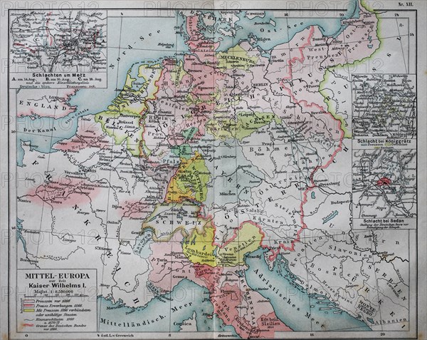
Map of Central Europe at the time of Kaiser Wilhelm I
Caption
Map of Central Europe at the time of Kaiser Wilhelm I, 1880, historical illustration, Italy, Europe
Date
19th century
Credit line
Photo12/imageBROKER/BAO
Reference
BRK19I65_361
Model release
No
License type
Rights managed
Available size
50,0Mb (2,7Mb) / 15,6in x 12,4in / 4686 x 3730 (300dpi)