Title
City map
Caption
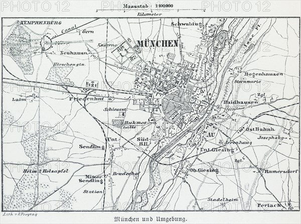
City map of Munich, scale 1:100.000, Isar, state capital, districts, Schwabing, Bogenhausen, Neuhausen, map, cartography, dead-end station, railway lines, surrounding area, historical illustration 19th century
Date
May 25, 2022
Credit line
Photo12/imageBROKER/Wolfgang Diederich
Reference
BRK23A56_303
Model release
No
Property release
NA
License type
Rights managed
Available size
69,7Mb (3,2Mb) / 19,1in x 14,2in / 5724 x 4257 (300dpi)