Title
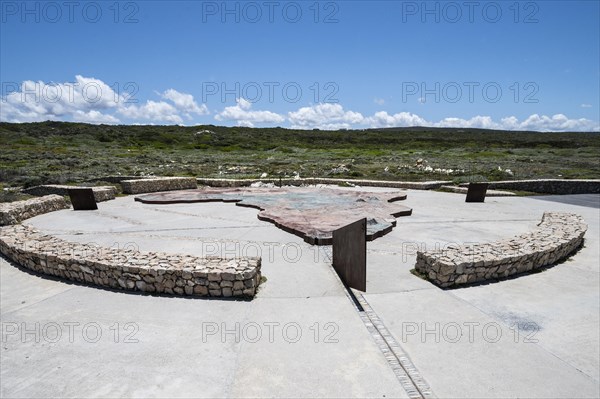
Map of Africa at Cape Agulhas
Caption
Map of Africa at Cape Agulhas, Cape of Needles, southernmost point of Africa and border between the Atlantic and Indian Oceans, Western Cape Province, South Africa, Africa
Date
Nov 13, 2022
Credit line
Photo12/imageBROKER/Guenter Lenz
Reference
BRK23H00_227
Model release
No
Property release
NA
License type
Royalty free
Available size
129,7Mb (4,5Mb) / 27,5in x 18,3in / 8256 x 5493 (300dpi)