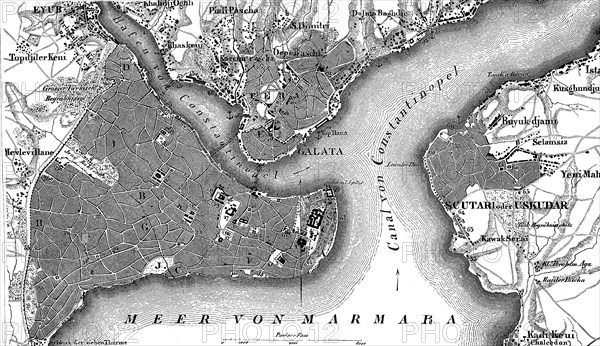
Caption
Map of Constantinople, Istanbul, and suburbs and Bosporus, Turkey, in 1880, Historical, digital reproduction of an original from the 19th century, Asia
Credit line
Photo12/imageBROKER/Sunny Celeste
Reference
BRK24H54_053
Model release
No
Property release
No
License type
Royalty free
Available size
41,4Mb (6,6Mb) / 16,7in x 9,6in / 5000 x 2891 (300dpi)
Keywords
deserted no one No People nobody uninhabited empty black on black geography geography history drawing drawings sketch orientation navigation map maps Turkey Asia Europe Europe's illustration illustrations depiction depictions depicting representation representing map maps digital digitally historic historical historically strait straits Turkish Turk suburb suburbs suburbia old oldest contemporary drawn european woodcut woodcuts xylograph woodprint Istanbul Bosphorus Bosporus former formerly Western Asia Southwest Asia Southwestern Asia West Asia sea vintage vintage-styled sketch Constantinople travel photography Istanbul Province reproduction replica replication replicas copy Eurasia 19th century nineteenth century 1900s 19th-century Historic illustration Historical illustration Historic illustrations Historical illustrations Illustration
Restrictions
AI generated image