Caption
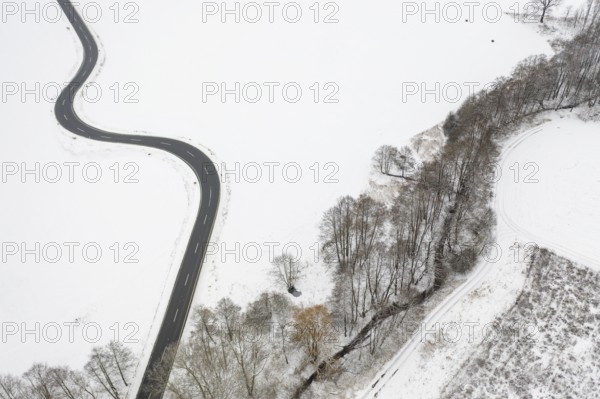
Aerial view of a winding country road and a stream in the snow, between Eppendorf and Leubsdorf, Central Saxony, Germany, Europe
Date
Jan 28, 2023
Credit line
Photo12/imageBROKER/Gabriele Hanke
Reference
BRK25A64_202
Model release
No
Property release
No
License type
Royalty free
Available size
56,9Mb (4,0Mb) / 18,2in x 12,1in / 5464 x 3640 (300dpi)