Title
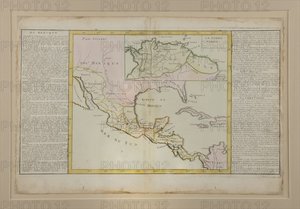
Map of Mexico that belonged to Bonaparte
Caption
Jean- Baptiste Louis Clouet (1729-1790) , abbot , cartographer and geographer .
Map of Mexico as part of a series of 3 cards (Peru and Europe) from the Bonaparte's youth Atlas entitled " Modern Geography" .
The board has a incription the hand of the young Bonaparte , " Monte cradle " .
1780
Black print heightened with colors.
Info+
Photo by Michel Bury.
Date
1780
Credit line
Photo12/Michel Bury/Collection Chalençon
Reference
CLC12A00_025
License type
Rights managed
Available size
59,4Mb (4,1Mb) / 18,2in x 12,7in / 5454 x 3804 (300dpi)