Title
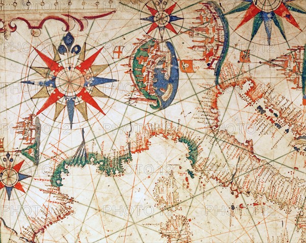
Nautical Atlas of the Mediterranean Sea
Caption
Petrus Joannes Plums
Nautical Atlas of the Mediterranean Sea in 3 maps. Map No 2 showing the Italian Coast, the South of France, Dalmatia
1651
Scroll (41.6 x 28 cm)
Venice, Correr Museum.
Date
1651
Credit line
Alfredo Dagli Orti/Photo12
Reference
DGL15A00_142
License type
Rights managed
Available size
127,8Mb (16,2Mb) / 25,0in x 19,9in / 7500 x 5958 (300dpi)