Title
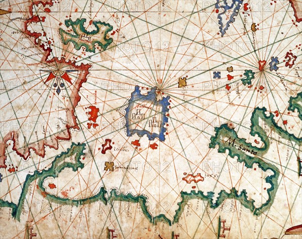
Nautical Atlas of the Mediterranean Sea
Caption
Petrus Joannes Plums
Nautical Atlas of the Mediterranean Sea in 3 maps. Map No 3 representing the Aegean Sea. Detail of the island of Lemnos with its 2 fortresses
1651
Scroll (41,6 x 28 cm)
Venice, Correr Museum.
Date
1651
Credit line
Alfredo Dagli Orti/Photo12
Reference
DGL15A00_146
License type
Rights managed
Available size
149,8Mb (22,0Mb) / 27,1in x 21,5in / 8117 x 6450 (300dpi)