Title
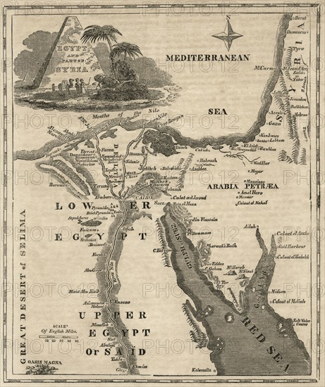
Egypt and Parts of Syria, Map, circa 1850
Caption
Egypt and Parts of Syria, Map, circa 1850
Info+
©JT Vintage / Glasshouse Images
Date
Jan 01, 1850
Credit line
Glasshouse Images/Photo12
Reference
GLS18A24_019
Model release
No
License type
Rights managed
Available size
54,8Mb (7,4Mb) / 13,4in x 15,9in / 4008 x 4775 (300dpi)