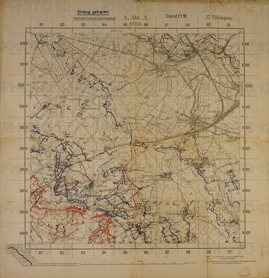
Title
Top Secret World War I Map of Northeastern France near German Border Showing German Military Positions, January 1, 1918
Caption
Top Secret World War I Map of Northeastern France near German Border Showing German Military Positions, January 1, 1918
Date
Jan 01, 1918
Credit line
Glasshouse Images/Photo12
Reference
GLS18A29_064
Model release
No
License type
Rights managed
Available size
47,1Mb (3,5Mb) / 13,3in x 13,8in / 3992 x 4128 (300dpi)