Title
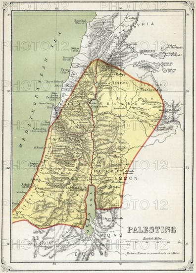
Map of Palestine, early 1800's
Caption
Map of Palestine, early 1800's
Date
Jan 06, 1820
Credit line
Glasshouse Images/Photo12
Reference
GLS19A10_179
Model release
NA
Property release
NA
License type
Rights managed
Available size
55,2Mb (9,6Mb) / 12,4in x 17,3in / 3729 x 5175 (300dpi)