Caption
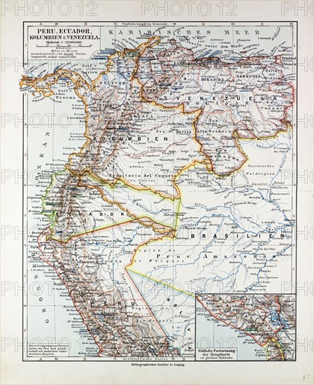
MAP OF PERU, ECUADOR, VENEZUELA AND COLUMBIA, 1899
Date
1899
Credit line
Photo12/Liszt Collection/Quint Lox Limited
Reference
LZT13A17_090
License type
Rights managed
Available size
84,0Mb (6,1Mb) / 16,3in x 20,0in / 4898 x 5996 (300dpi)
1899
LZT13A17_090
Rights managed
84,0Mb (6,1Mb) / 16,3in x 20,0in / 4898 x 5996 (300dpi)