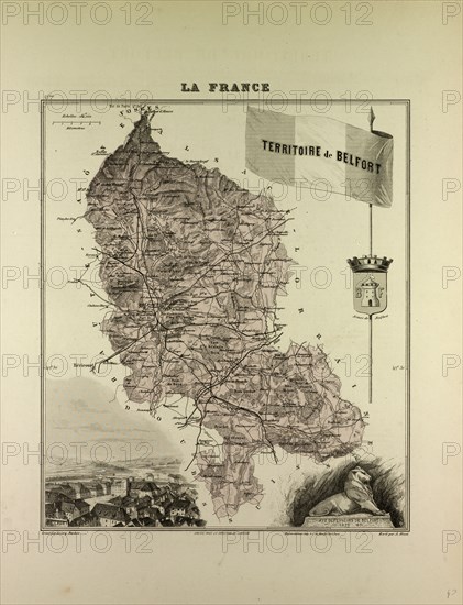
Caption
MAP OF TERRITOIRE DE BELFORT, 1896, FRANCE
Date
1896
Credit line
Photo12/Liszt Collection/Quint Lox Limited
Reference
LZT13A20_263
License type
Rights managed
Available size
71,5Mb (4,9Mb) / 14,6in x 19,0in / 4379 x 5710 (300dpi)
1896
LZT13A20_263
Rights managed
71,5Mb (4,9Mb) / 14,6in x 19,0in / 4379 x 5710 (300dpi)