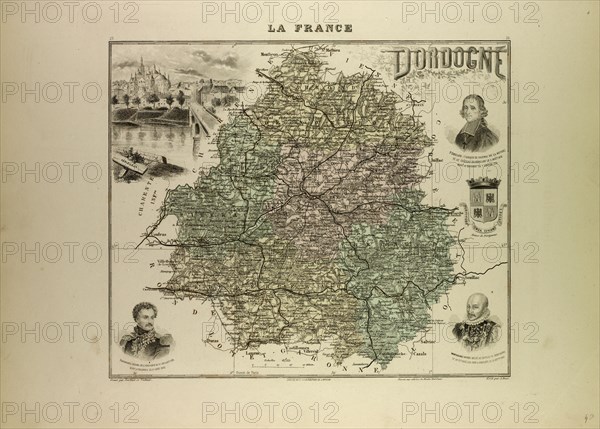
Caption
MAP OF DORDOGNE, 1896, FRANCE
Date
1896
Credit line
Photo12/Liszt Collection/Quint Lox Limited
Reference
LZT13A20_309
License type
Rights managed
Available size
80,0Mb (6,4Mb) / 20,8in x 14,9in / 6248 x 4477 (300dpi)
1896
LZT13A20_309
Rights managed
80,0Mb (6,4Mb) / 20,8in x 14,9in / 6248 x 4477 (300dpi)