Caption
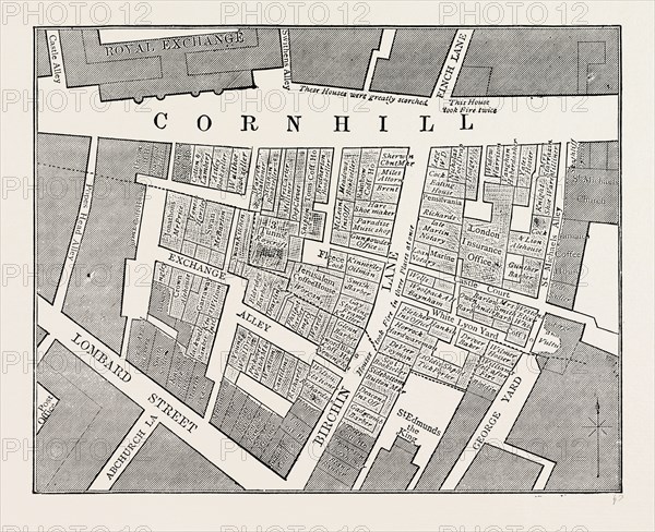
Map showing the extent of the Great Fire in Cornhill in 1748, London, UK, 19th century engraving
Date
1748
Credit line
Photo12/Liszt Collection/Quint Lox Limited
Reference
LZT16A01_402
License type
Rights managed
Available size
64,9Mb (5,6Mb) / 17,6in x 14,3in / 5279 x 4299 (300dpi)