Caption
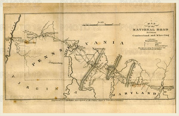
Map of the road between Cumberland and Wheeling, A Geographical Description of the United States with the contiguous British and Spanish Possessions, intended as an accompaniment to Melish's map of these countries, 19th century engraving, US, America
Credit line
Photo12/Liszt Collection/Quint Lox Limited
Reference
LZT16A62_144
License type
Rights managed
Available size
75,2Mb (2,7Mb) / 21,2in x 13,8in / 6349 x 4142 (300dpi)