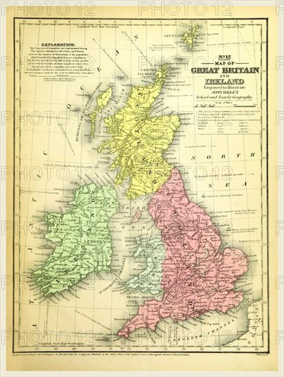
Caption
Map of Great Britain and Ireland, 19th century engraving
Credit line
Photo12/Liszt Collection/Quint Lox Limited
Reference
LZT16A63_115
License type
Rights managed
Available size
88,6Mb (4,2Mb) / 16,1in x 21,4in / 4829 x 6415 (300dpi)
LZT16A63_115
Rights managed
88,6Mb (4,2Mb) / 16,1in x 21,4in / 4829 x 6415 (300dpi)