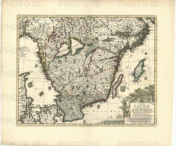
Caption
Map, Regni Gothiae tabula generalis, in qua sontOstro et Westrogothia, Smalandia, Dalia, Vermelandia, Scania, Blekingia et Hallandia, Bahusiae prefectura, insulaeque Gotlandia et Oelandia, Frederick de Wit (1610-1698), Copperplate print
Credit line
Photo12/Liszt Collection/Artokoloro
Reference
LZT20A46_029
License type
Rights managed
Available size
206,0Mb (21,2Mb) / 31,0in x 25,8in / 9312 x 7732 (300dpi)