Caption
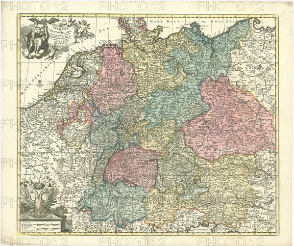
Map, Germaniae vulgo Duitschland, tabula comprehendens accuratam X. circulorum Bohemiae Regni ac Universae Helvetiae descriptionem cum divisione in caeteras partes, Jan Barend Elwe (1746-1816), Copperplate print
Credit line
Photo12/Liszt Collection/Artokoloro
Reference
LZT20A46_092
License type
Rights managed
Available size
208,7Mb (25,2Mb) / 31,2in x 26,0in / 9346 x 7806 (300dpi)