Caption
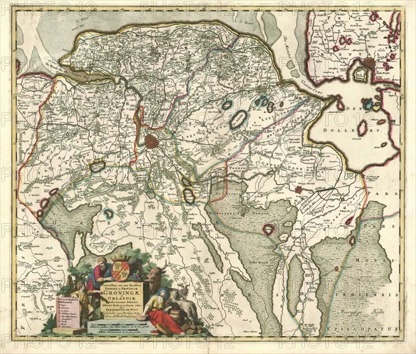
Map, Corectissima nec non novissima dominii et provinciae Groningae et Omlandiae tabula, Frederick de Wit (1630-1706), Copperplate print
Credit line
Photo12/Liszt Collection/Artokoloro
Reference
LZT20A47_234
License type
Rights managed
Available size
86,2Mb (11,3Mb) / 19,8in x 16,9in / 5943 x 5068 (300dpi)