Caption
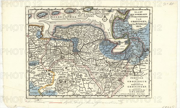
Map, Kaart der doorbraken en overstrooming van Groningen op den 4 February 1825, E. Maaskamp (1769-1834), Copperplate print
Credit line
Photo12/Liszt Collection/Artokoloro
Reference
LZT20A47_237
License type
Rights managed
Available size
40,1Mb (4,4Mb) / 16,1in x 9,7in / 4819 x 2905 (300dpi)