Title
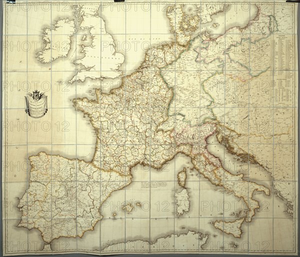
Map of the French Empire in 1812
Caption
Map of the French Empire in 1812
Personnal copy of the Emperor for his topographic study
Paper lined with silk (110 x 80 cm)
A box contains the map (see PJC03041_CHA288)
Date
1812
Credit line
Photo12/Pierre-Jean Chalençon
Reference
PJC03041_CHA273
Model release
No
License type
Rights managed
Available size
85,5Mb (7,7Mb) / 19,7in x 16,9in / 5906 x 5060 (300dpi)