20 results for: map italy
- Page
-
- of
- 1
Please sign in for more results
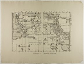
LZT20A14_190
Map of Libya, the Middle East and North Africa, 14...
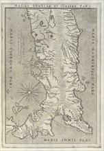
LZT19B36_456
Map of Greece and Italy, Sicilia et magna Graecia,...
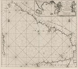
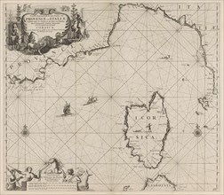
LZT16A27_376
Sea chart of part of the southwest coast of Italy ...
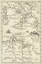
LZT16A26_472
Map of Italy and part of North Africa, Jan Luyken,...
LZT16A27_378
Map of part of the Mediterranean coast of France a...
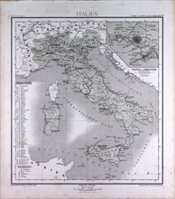
LZT16A02_299
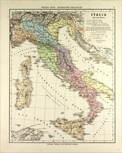
Italy, atlas by Th. von Liechtenstern and Henry La...
LZT16A02_321
Italy, atlas by Th. von Liechtenstern and Henry La...
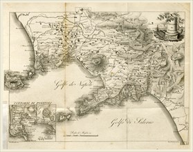
LZT16A62_205
Map of Napels, Golf of Napels, Napoli e Contorni, ...
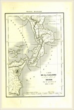
LZT16A62_311
Map of Calabria, Italy
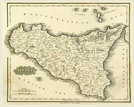
LZT16A62_387
Map Sicily, Italy, 19th century engraving
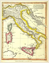
LZT16A62_348
Map of Italy, 19th century engraving
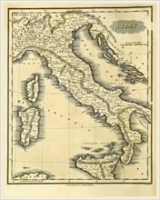
LZT16A61_443
Map of Italy by Thomas Kelly
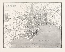
LZT13A43_304
MAP OF NAPLES, ITALY, 1860 engraving
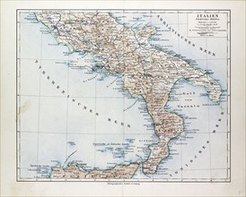
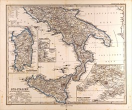
LZT13A17_052
MAP OF SOUTH ITALY, 1899
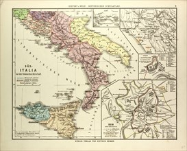
LZT13A23_310
MAP OF SOUTHERN ITALY BEFORE THE ROMAN EMPIRE
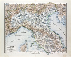
LZT13A17_051
MAP OF NORTH ITALY, 1899
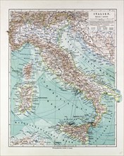
LZT13A17_050
MAP OF ITALY, 1899
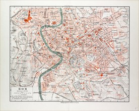
LZT13A17_053
MAP OF ROME, ITALY, 1899
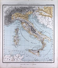
LZT13A23_309
MAP OF ITALY DURING THE ROMAN EMPIRE
LZT13A00_098