18 results for: north germany
- Page
-
- of
- 1
Please sign in for more results
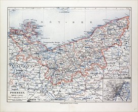
LZT13A17_003
MAP OF POMMERN, MECKLENBURG-VORPOMMERN (GERMANY) A...
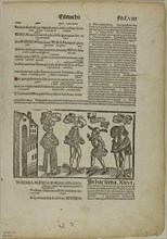
LZT20A24_451
The Eunuch from Terenti cum directorio, Plate 29 f...
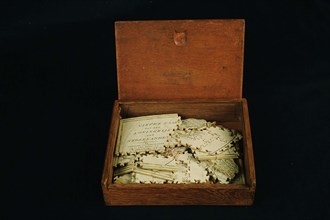
LZT19B49_166
Geography puzzle in coffin: map with the Netherlan...
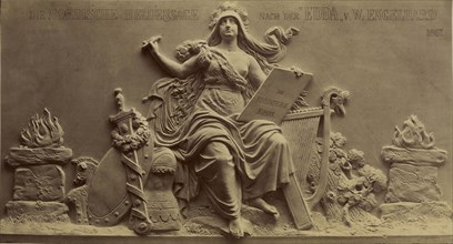
LZT19B14_080
Saga, the Heroic Muse of the North; Ernst Alpers, ...
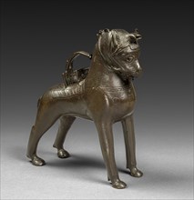
LZT19A68_088
Aquamanile: Saddled Horse, c. 1300. North Germany,...
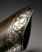
LZT19A32_245
Black and White Elbow Gauntlet for the Right Hand,...
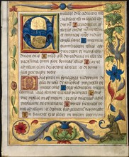
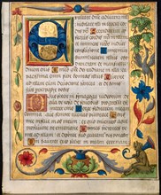
LZT19A80_080
Leaf from a Psalter and Prayerbook: Initial E with...
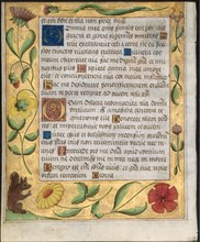
LZT19A80_081
Leaf from a Psalter and Prayerbook: Ornamental Bor...
LZT19A80_171
Leaf from a Psalter and Prayerbook: Initial E with...
LZT16A27_430
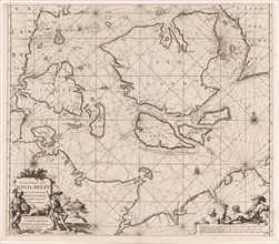
Sea chart of the Danish Islands, part of the coast...
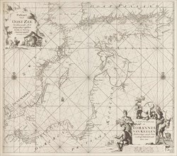
LZT16A27_422
Sea chart of the Baltic Sea from Rostock to Vyborg...
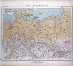
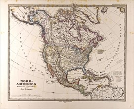
LZT16A02_289
North and Middle Germany, Nord und Mittel Deutschl...
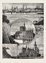
LZT13A40_261
Stralsund from the Harbour. The Zerkluftete Wand, ...
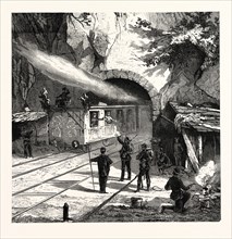
LZT13A31_434
Franco-Prussian War: Guarding the railway tunnel n...
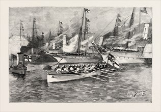
LZT13A45_185
THE MEETING OF THE EMPERORS OF RUSSIA AND GERMANY ...
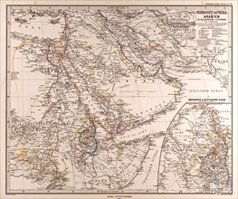
LZT13A00_064
Arabia North East Africa Map Gotha, Justus Perthes...
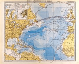
LZT13A00_101
North Atlantic Ocean Map Gotha, Justus Perthes, 18...
LZT13A00_046