120 résultats pour : long-distance footpath
- Page
-
- sur
- 2
Connectez-vous pour plus de résultats
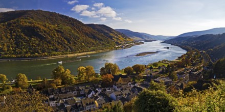
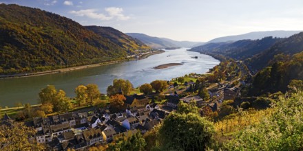
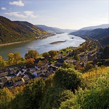
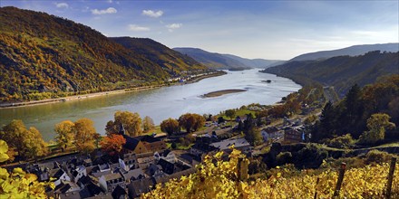
BRK25C61_138
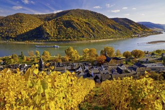
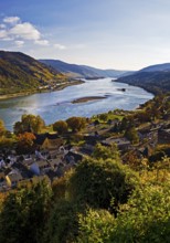
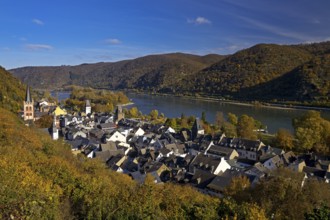
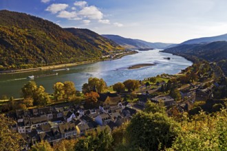
View of Bacharach on the Rhine in autumn, UNESCO W...
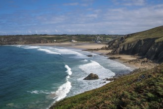
BRK25C85_430
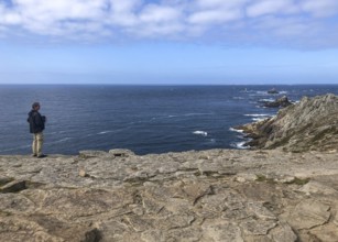
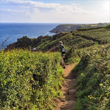
Plogoff, Brittany, France - Hiking trail from Poin...
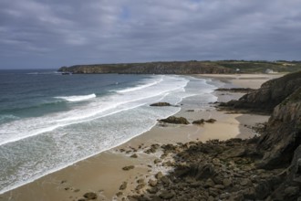
BRK25C85_431
Plogoff, Brittany, France - Hiking trail from Poin...
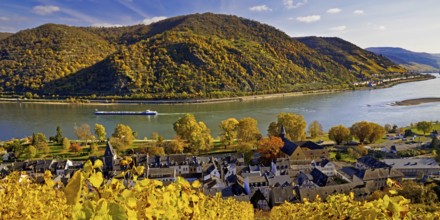
BRK25C73_013
View of Bacharach on the Rhine in autumn, UNESCO W...
BRK25C61_038
View of Bacharach on the Rhine in autumn, UNESCO W...
BRK25C13_393
Guide to hiking destinations in the surrounding ar...
BRK25B87_052
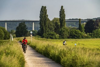
Mendener Ruhraue, cycle path, footpath, view to th...
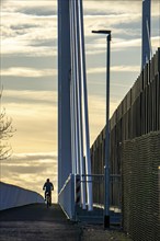
BRK25B77_223
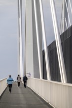
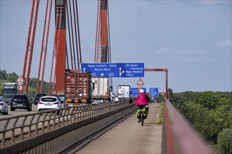
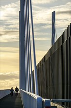
Cycle and footpath of the Neuenkamp motorway bridg...
BRK25B89_031
Plogoff, Brittany, France - Cape Pointe du Raz, th...
BRK25B44_433
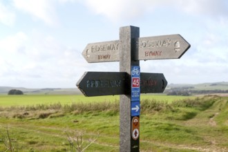
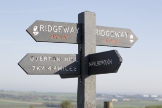
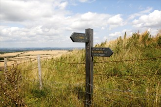
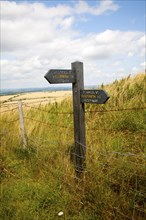
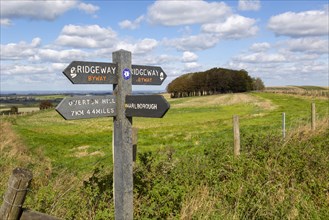
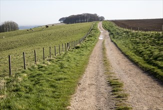
Direction arrow signs on the prehistoric Ridgeway ...
BRK25B38_162
View of Bacharach on the Rhine in autumn, UNESCO W...
BRK25B21_442
View of Bacharach on the Rhine in autumn from the ...
BRK25A82_420
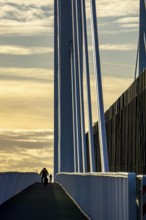
The Kennedy Bridge, the middle of Bonn's 3 Rhine b...
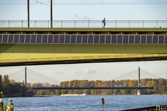
BRK25A52_308
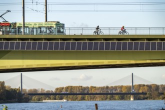
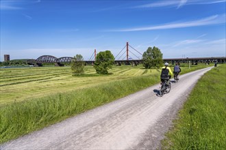
Cycle and footpath of the A40 Neuenkamp bridge, pi...
BRK25A65_379
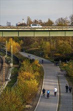
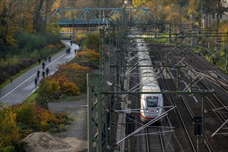
The Grugatrasse, former railway line between Essen...
BRK25A73_482
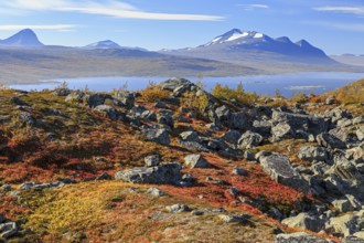
Autumn coloured blueberry bushes, red, sunny, ston...
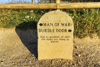
BRK25A87_131
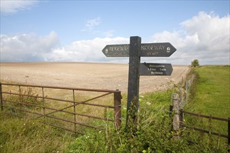
Signposts to Man of War and Durdle Door, Coastal P...
BRK25A56_137
View of Bacharach on the Rhine in autumn, UNESCO W...
BRK25A32_208
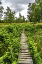
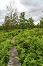
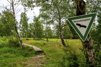
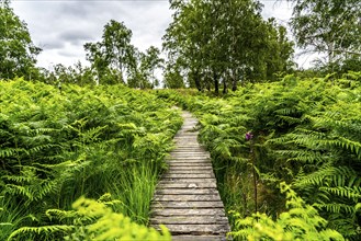
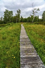
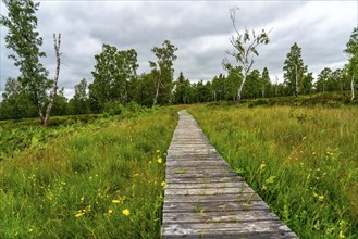
Bohlenweg, in the Struffelt nature reserve, near R...
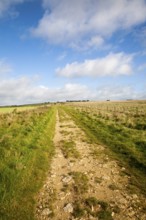
BRK25A09_045
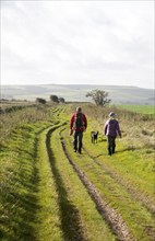
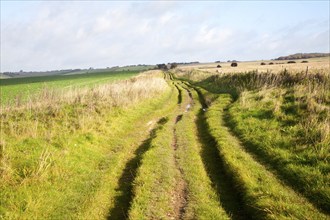
The Ridgeway long distance footpath dating from pr...
BRK25A22_132
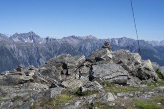
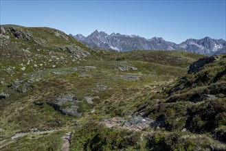
Mountain peak, Alps, European long-distance hiking...
BRK25A35_338
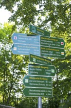
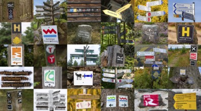
Collection of hiking signs, hiking trails, signpos...
BRK25A04_200
The Grugatrasse, former railway line between Essen...
BRK25A45_410
Ridgeway long distance footpath direction signs on...
BRK25A15_161
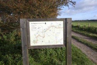
Map of the Ridgeway long distance footpath dating ...
BRK25A47_021
View of Bacharach on the Rhine in autumn, UNESCO W...
BRK24J02_458
The Ridgeway long distance footpath dating from pr...
BRK24I28_417
Bohlenweg, in the Struffelt nature reserve, near R...
BRK24I18_295
The Ridgeway long distance footpath dating from pr...
BRK24I97_167
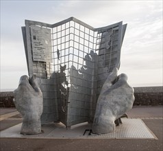
Sculpture marking the start and end point of the s...
BRK24J06_211
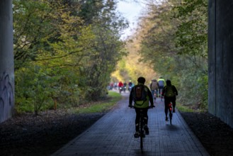
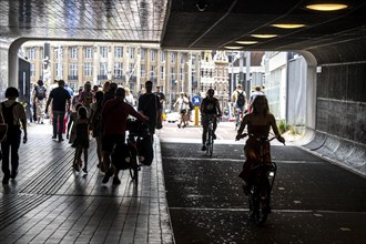
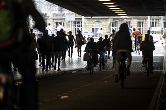
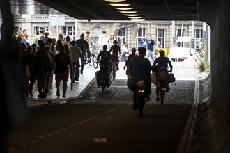
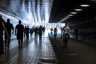
Footpath and cycle path, cycle highway, Cuyperspas...
BRK24I53_207
View of Bacharach on the Rhine in autumn, UNESCO W...
BRK24I36_107
View of Bacharach on the Rhine in autumn, UNESCO W...
BRK24H84_483
Footpath and cycle path, cycle highway, Cuyperspas...
BRK24H79_269
The motorway bridge between Duisburg-Baerl and Dui...
BRK24I04_175
Bohlenweg, in the Struffelt nature reserve, near R...
BRK24H12_048
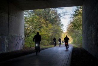
Footpath next to the A40 motorway, Ruhr Expressway...
BRK24H26_066
The Kennedy Bridge, the middle of Bonn's 3 Rhine b...
BRK24H36_429
Cycle and footpath of the A40 Neuenkamp bridge, pi...
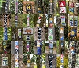
BRK24G40_076
Collection of hiking signs, hiking trails, signpos...
BRK24G31_431
The Ridgeway long distance footpath dating from pr...
BRK24G37_193
Bohlenweg, in the Struffelt nature reserve, near R...
BRK24G41_289
The Ridgeway long distance footpath dating from pr...
BRK24G31_411
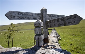
Pennine Way long distance footpath signpost, Yorks...
BRK24G21_334
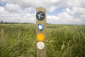
Permissive footpath sign on the Ridgeway long dist...
BRK24G22_107
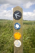
Footpath sign on the Ridgeway long distance footpa...
BRK24F97_021
Mountain peak, Alps, European long-distance hiking...
BRK24F55_009
The Ridgeway long distance footpath dating from pr...
BRK24F67_128
Bohlenweg, in the Struffelt nature reserve, near R...
BRK24F64_363
Permissive footpath sign on the Ridgeway long dist...
BRK24F71_479
Footpath and cycle path, cycle highway, Cuyperspas...
BRK24F54_120
Radschnellweg Ruhr, RS1, along the railway line be...
BRK24F61_146
Radschnellweg Ruhr, RS1, along the railway line be...
BRK24E71_483
Footpath and cycle path, cycle highway, Cuyperspas...
BRK24E69_407
Bohlenweg, in the Struffelt nature reserve, near R...
BRK24E77_164
Cycle and footpath of the A40 Neuenkamp bridge, pi...
BRK24E78_035
Rhine meadows near Duisburg-Beeckerwerth, footpath...
BRK24D18_164
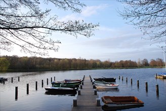
Several boats are moored at a long jetty on a lake...
BRK24B53_351
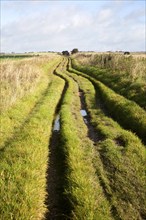
Route markers for Angles Way long distance footpat...
BRK24B56_050
Route markers for Angles Way long distance footpat...
BRK24B20_185
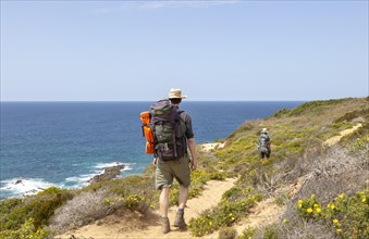
One woman walking in woodland on coastal long dist...
BRK24B14_376
Two people walking the cliff top coastal long dist...
BRK24B57_464
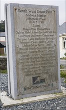
South West Coast path midway marker at Porthallow,...
BRK24B13_069
One woman walking on cliffs above the Atlantic Oce...
BRK24B13_181
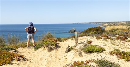
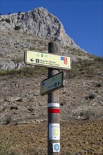
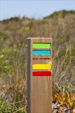
Signpost waymark for long distance footpath GR-249...
BRK24B25_076
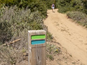
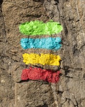
Footpath marker way mark sign painted in green, bl...
BRK24B20_184
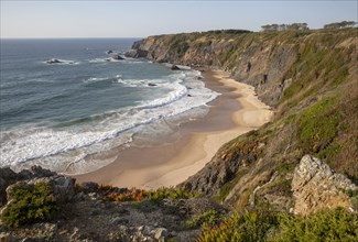
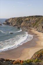
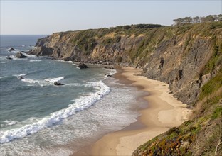
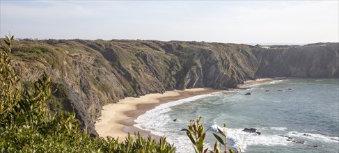
Secluded sandy beach in bay between rocky headland...
BRK24B18_177
Secluded sandy beach in bay between rocky headland...
BRK24B22_279
Signpost waymark for long distance footpath GR-249...
BRK24B22_382
Secluded sandy beach in bay between rocky headland...
BRK24B25_075
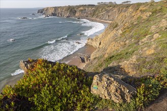
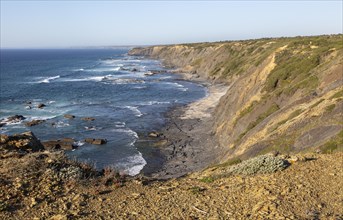
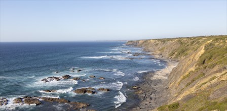
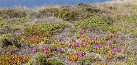
Rocky rugged coastal landscape on the Rota Vicenti...
BRK24B29_065
Secluded sandy beach in bay between rocky headland...
BRK24B30_163
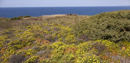
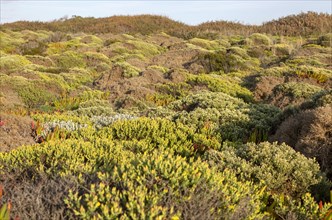
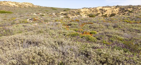
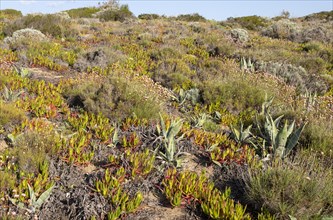
Vegetation Rota Vicentina Fishermen's Trail long d...
BRK24B27_076
Vegetation Rota Vicentina Fishermen's Trail long d...
BRK24B29_285
Rocky rugged coastal landscape on the Rota Vicenti...
BRK24B26_181
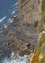
Intensely folded rock of wave cut platform at the ...
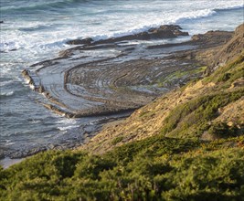
BRK24B22_178
Intensely folded rock of wave cut platform. Rocky ...
BRK24B19_185
Signpost waymark for long distance footpath GR-249...
BRK24B20_032
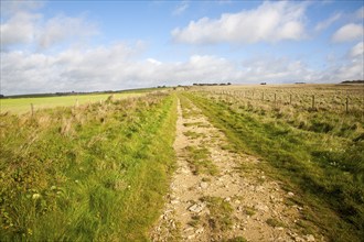
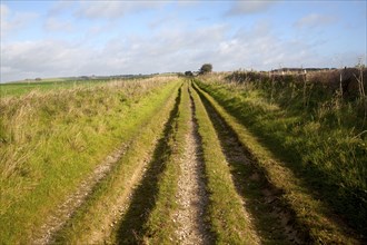
Ridgeway long distance footpath signpost on chalk ...
BRK24B28_286
Signpost waymark for long distance footpath GR-249...
BRK24B29_283
Vegetation Rota Vicentina Fishermen's Trail long d...
BRK24B20_379
Secluded sandy beach in bay between rocky headland...
BRK24B12_377
Vegetation Rota Vicentina Fishermen's Trail long d...
BRK24B21_280
Footpath marker way mark sign painted in green, bl...
BRK24B28_368
Vegetation Rota Vicentina Fishermen's Trail long d...
BRK24B18_314
Ridgeway long distance footpath looking east on Ha...
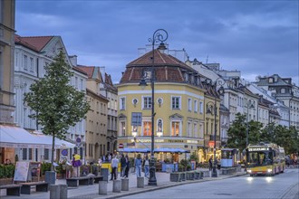
BRK24A22_428
Street scene
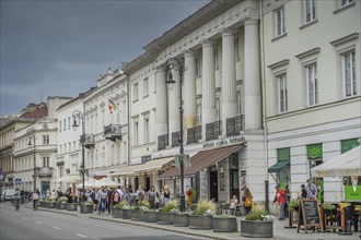
BRK24A26_422
House of the Polonia Foundation Wspolnota Polska
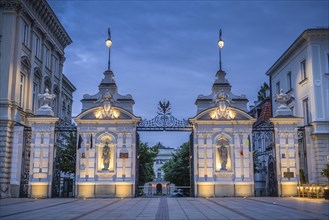
BRK24A29_113
Old University Building
BRK24A24_422
Street scene
BRK24A28_024
Street scene
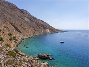
BRK23F41_125
Sailboat anchored in a bay next to the E4 long-dis...
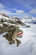
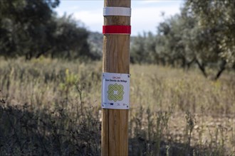
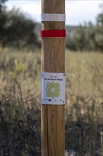
BRK23E82_464
Characteristic white and red stripes on rock marki...
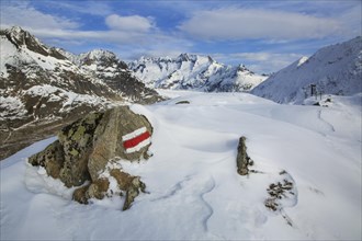
BRK23E81_156
Characteristic white and red stripes on rock marki...
BRK23E34_459
Long Distance Walk
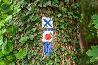
BRK23C78_408
Hiking markers on a tree with ivy
BRK23C79_301
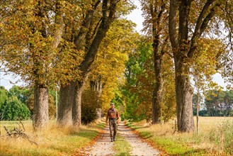
Hikers in a chestnut avenue on the long-distance h...
BRK23C72_401
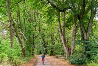
Hikers in an avenue on the long-distance hiking tr...
BRK23C76_214
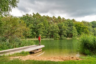
Hikers on a footbridge
BRK23C84_410
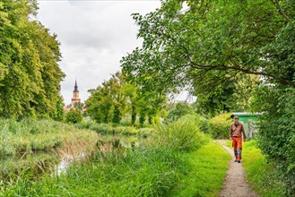
Hikers at the Templin Canal
- Page
-
- sur
- 2