85 résultats pour : surveyings
- Page
-
- sur
- 1
Connectez-vous pour plus de résultats
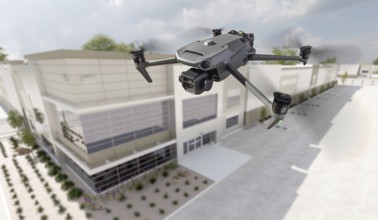
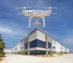
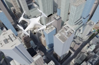
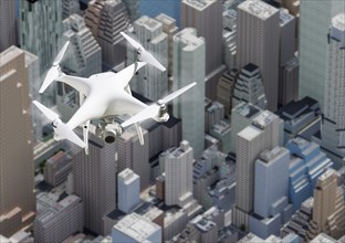
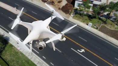
BRK25C50_290
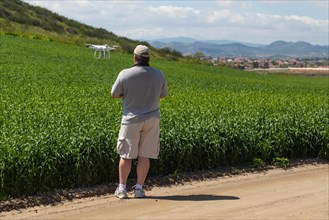
Unmanned aircraft system quadcopter drone UAV in t...
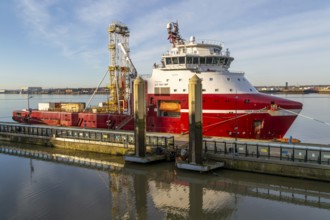
BRK25C68_016
Dina Polaris built 2017 integrated geotechnical su...
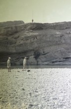
BRK25B76_474
Survey work on the dry riverbed of the Nai Gaj Gor...
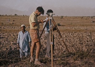
BRK25B81_096
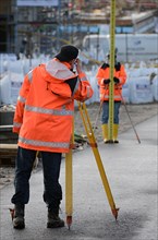
A Western European surveyor works on a technical p...
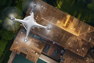
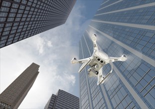
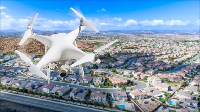
BRK25B69_274
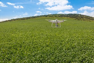
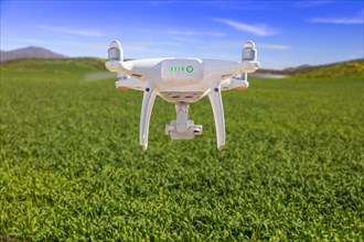
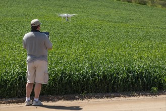
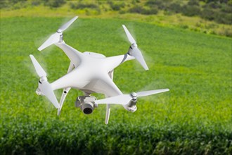
Unmanned aircraft system (UAV) quadcopter drone in...
BRK25B89_268
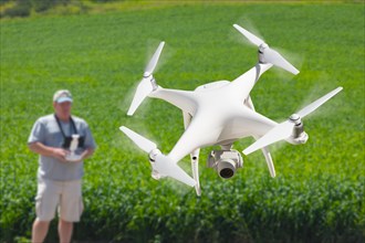
Unmanned aircraft system (UAV) quadcopter drone in...
BRK25A94_242
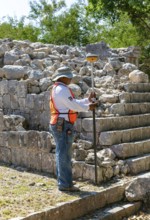
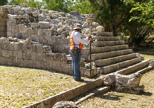
Surveyor at work, Temple of Panels, Templo de los ...
BRK25A67_353
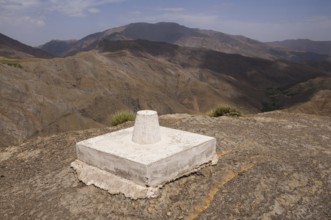
Survey point, High Atlas, Morocco, Africa
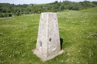
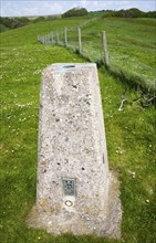
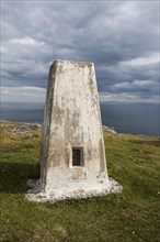
BRK25A18_307
Concrete triangulation pillar on chalk hilltop Gia...
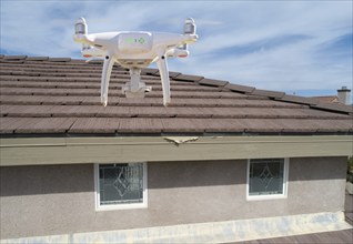
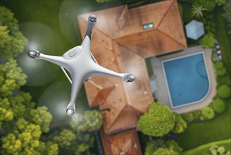
BRK24I19_463
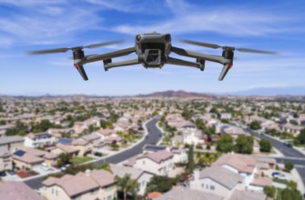
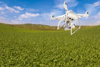
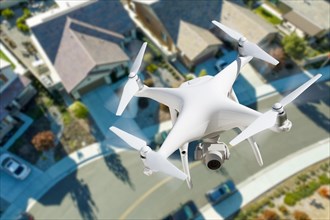
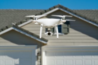
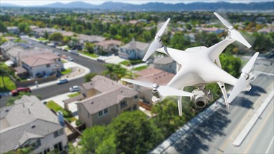
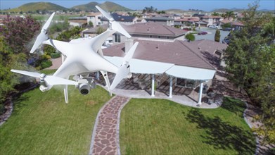
Quadcopter UAV drone flying A residential roof ins...
BRK24H95_285
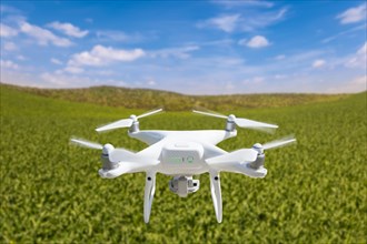
Quadcopter UAV drone flying A residential roof ins...
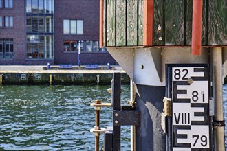
BRK24H76_038
Concept of surveying, gauges for measuring the wat...
BRK24H99_488
Concrete triangulation pillar on chalk hilltop Gia...
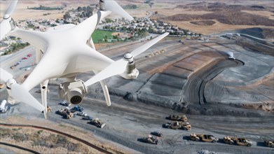
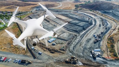
BRK24G35_008
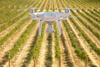
Unmanned aircraft system (UAS) quadcopter drone in...
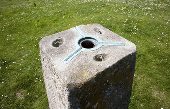
BRK24F64_433
Detail of the top of concrete triangulation pillar...
BRK24F60_151
Quadcopter UAV drone flying A residential roof ins...
BRK24F37_097
Surveyor at work, Temple of Panels, Templo de los ...

BRK24E75_483
Surveying point, used for orientation, reference p...

BRK24D33_330
Correctionville, Iowa, A sign welcomes travelers t...
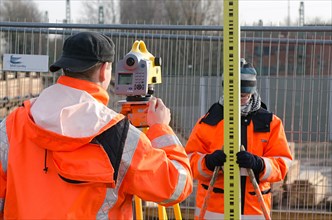
BRK24D32_402
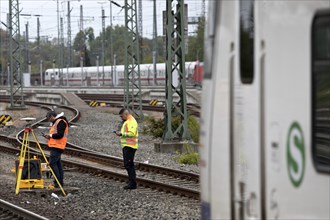
Railway worker surveying on the tracks with S-Bahn...
BRK24D35_110
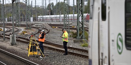
Railway worker surveying on the tracks with S-Bahn...
BRK24B61_044
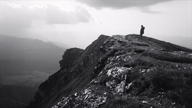
A hiker stands on a mountain peak surveying the su...
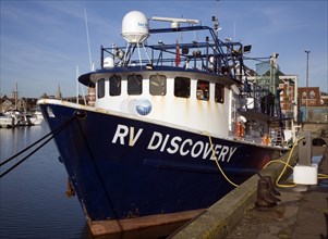
BRK24B53_109
RV Discovery survey ship, Ipswich, Suffolk, Englan...
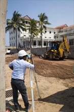
BRK24A53_325
Construction site redevelopment of Galle Face hote...
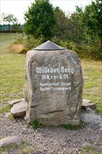
BRK24A18_100
Summit stone on the Wilseder Berg with metal plate...
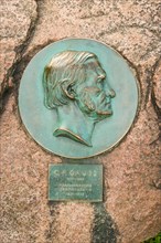
BRK24A16_276
Portrait
BRK23H27_089
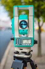
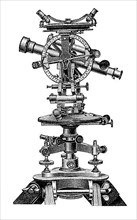
Theodolite close up

BRK23H39_091
Theodolite close up
BRK23H27_080
Close-up of a modern theodolite
BRK23F68_123
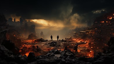
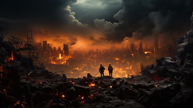
Soldiers surveying the landscape amidst explosions...

BRK23F90_321
Soldiers surveying the landscape amidst explosions...
BRK23F78_316
Soldiers surveying the landscape amidst explosions...
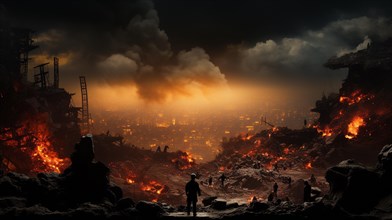
BRK23F84_324
Soldiers surveying the landscape amidst explosions...
BRK23F16_408
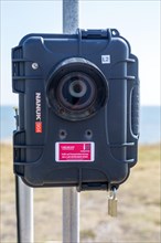
Intelligent Data surveillance traffic survey camer...
BRK23F16_493
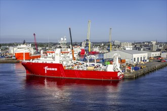
Fugro Venturer
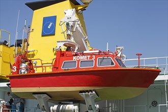
BRK23E39_315
Dinghy on the survey ship Komet
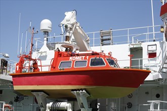
BRK23E40_012
Dinghy on the survey ship Komet
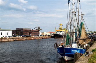
BRK23D24_411
Fishing cutter
BRK23C74_447
Survey equipment for excavated earth on constructi...
BRK23B80_042
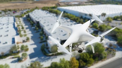
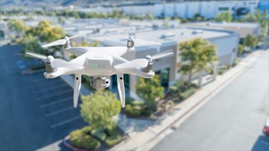
Unmanned aircraft system quadcopter drone in the a...
BRK23B89_139
Unmanned aircraft system quadcopter drone in the a...
BRK23B86_044
Unmanned aircraft system quadcopter drone in the a...
BRK23B92_223
Unmanned aircraft system quadcopter drone in the a...
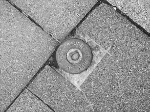
BRK23A31_136
Survey point
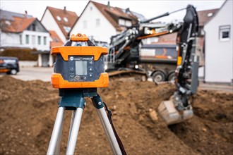
BRK22I22_498
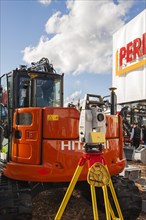
Surveying instrument in front of construction mach...

BRK22G76_221
Soprano pipistrelle
BRK22F76_150
Ships

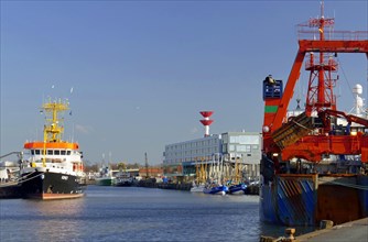
BRK22G59_057
Survey vessel Komet in the fishing port of Bremerh...

BRK22G16_158
Survey vessel Komet in the fishing port of Bremerh...
BRK22G33_109
Spurge bow
BRK22D83_147
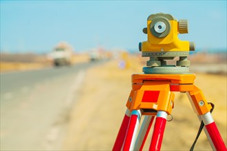
Theodolite, angle measuring instrument in geodesy
BRK22C43_249
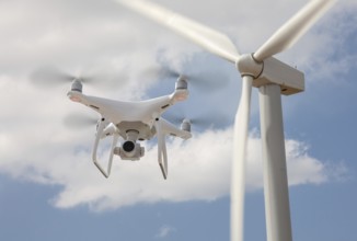
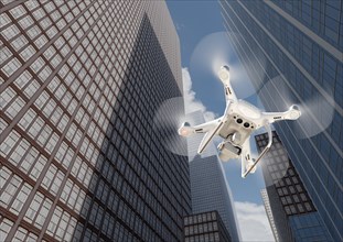
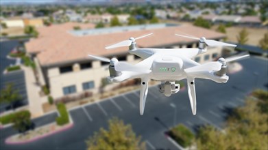
Drone unmanned aircraft flying and gathering data ...
BRK22C43_446
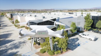
Drone unmanned aircraft flying and gathering data ...
BRK22C56_145
Unmanned aircraft system quadcopter drone in the a...
BRK22C82_351
Unmanned aircraft system quadcopter drone in the a...
BRK22C88_147
Drone unmanned aircraft flying and gathering data ...
BRK22C88_354
Drone unmanned aircraft flying and gathering data ...
BRK22C42_148
Unmanned aircraft system quadcopter drone in the a...
BRK22C43_053
Unmanned aircraft system quadcopter drone in the a...
BRK22C57_044
Pilot flying unmanned aircraft drone gathering dat...
BRK22C71_048
Pilot flying unmanned aircraft drone gathering dat...
BRK22C85_051
Pilot flying unmanned aircraft drone gathering dat...
BRK22C49_047
Unmanned aircraft system quadcopter drone in the a...
BRK22C60_347
Drone unmanned aircraft flying and gathering data ...
BRK22C75_444
Unmanned aircraft system quadcopter drone in the a...
BRK22C77_049
Unmanned aircraft system
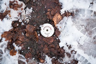
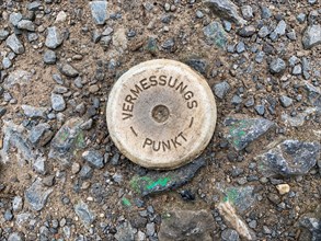
BRK22C75_087
Vermessungspunkt
BRK22C31_049
Unmanned aircraft system
BRK22C25_046
Unmanned aircraft system
BRK22C33_049
Unmanned aircraft system
BRK22C20_347
Unmanned aircraft system
BRK22C29_051
Unmanned aircraft system
BRK22C35_444
Unmanned aircraft system
BRK21A47_024
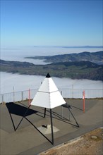
Trigonometric point on the Rigi
BRK20A92_472
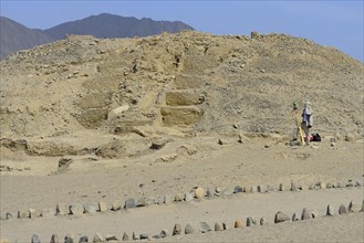
Surveying work in the ruins of Caral
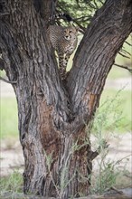
BRK19G68_124
Cheetah (Acinonyx jubatus) on a tree surveying the...
BRK19G30_182
Marking

BRK19E96_476
Wega container ship
BRK19F06_245
Ordnance Survey
BRK19D76_238
Surveying work
BRK19D76_239
Surveying work

BRK19E05_206
Survey ship
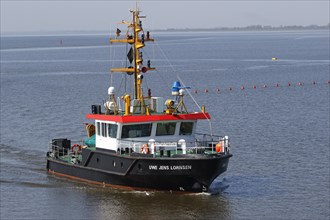
BRK19E05_207
Survey ship
BRK18C08_009
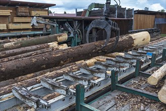
Crane lifts round wood on the surveying conveyor
BRK18A79_237