9 résultats pour : map meuse
- Page
-
- sur
- 1
Connectez-vous pour plus de résultats
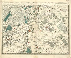
LZT20A47_306
Map, Carte particuliere des environs de Maestricht...
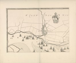
LZT16A39_340
Map of Maassluis and the banks of the Meuse, The N...
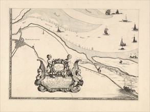
LZT16A39_341
Map of Brielle and the banks of the Meuse, The Net...
LZT16A27_407
Sea chart of the southern part of the North Sea an...
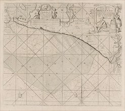
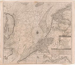
LZT16A27_406
Sea chart of the coast of Holland between Texel an...
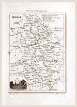
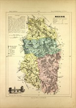
LZT16A62_456
France pittoresque, map Meuse, 19th century engrav...
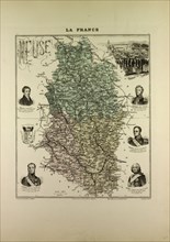
LZT13A17_177
MAP OF MEUSE, FRANCE
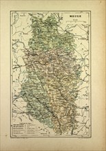
LZT13A20_277
MAP OF MEUSE, 1896, FRANCE
LZT13A17_305