Période

5 résultats pour : polar map

  • Page
  • sur
  • 1
Connectez-vous pour plus de résultats
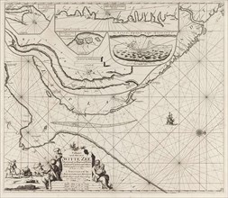
Sea chart of part of the coast of the Kola peninsula in Russia, Jan Luyken, Johannes van Keulen
LZT16A27_412

Sea chart of part of the coast of the Kola peninsu...
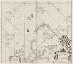
Sea chart of the Baltic and North Sea, Jan Luyken, Johannes van Keulen (I), unknown, 1681 - 1799
LZT16A27_439

Sea chart of the Baltic and North Sea, Jan Luyken,...
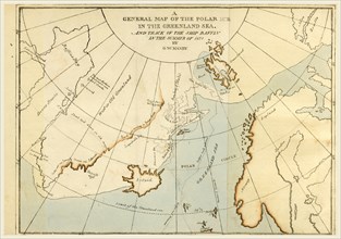
Map of the Polar Ice in the  Greenland Sea, in the year 1821, 19th century engraving
LZT16A62_027

Map of the Polar Ice in the Greenland Sea, in the...
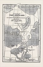
THE AUSTRIAN POLAR EXPEDITION, MAP OF FRANZ JOSEPH LAND, DISCOVERED BY MESSRS. PAYER AND WEYPRECHT
LZT13A14_259

THE AUSTRIAN POLAR EXPEDITION, MAP OF FRANZ JOSEPH...

Polar Map  Gotha, Justus Perthes, 1872, Atlas. Perthes, Johan Georg Justus 1749 â€â€ú 1816,
LZT13A00_103

Polar Map Gotha, Justus Perthes, 1872, Atlas. Per...