41 résultats pour : spanish-german
- Page
-
- sur
- 1
Connectez-vous pour plus de résultats
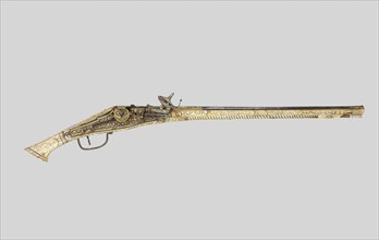
LZT20A33_431
Wheellock Pistol, c. 1570/88, Spanish, possibly Ge...

LZT20A24_466
Esula Minor from Herbarium, Plate 46 from Woodcuts...

LZT20A33_043
Parrying Poniard, c. 1620/30, German, Blade possib...
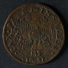
LZT19B46_036
Medal on the mediation offered by the German Emper...
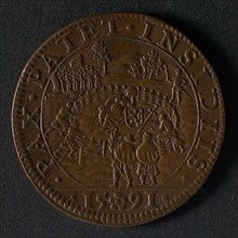
LZT19B46_035
Medal on the mediation offered by the German emper...
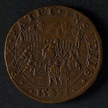
LZT19B46_033
Medal on the mediation offered by the German emper...
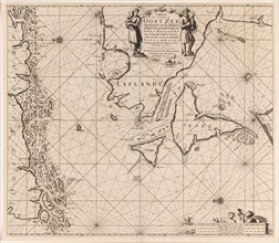
LZT16A27_430
Sea chart of the Danish Islands, part of the coast...
LZT16A27_448
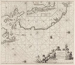
Sea chart of the coasts of England, Scotland and I...
LZT16A27_431
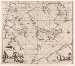
Sea chart of Denmark in the Skagerrak and Kattegat...
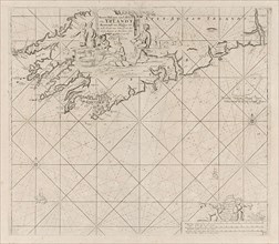
LZT16A27_384
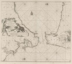
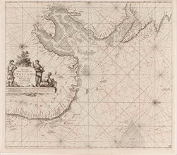
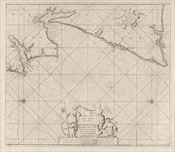
Sea map of part of the south coast of Portugal and...
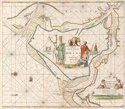
LZT16A27_449
Sea chart of the Northern Dvina River, Jan Luyken,...
LZT16A27_441
Sea chart of part of the coast of Ireland, England...
LZT16A27_383
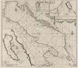
the Mediterranean Sea Map with over the western an...
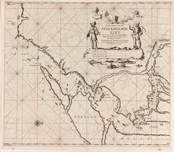
LZT16A27_419
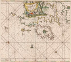
Map of the waters around Stockholm, Jan Luyken, Jo...
LZT16A27_428
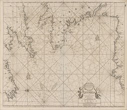
Sea chart of part of the coast of Norway, print ma...
LZT16A27_450
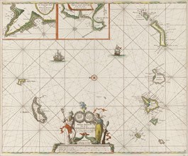
Sea chart of the Canary Islands, print maker: Jan ...
LZT16A27_350
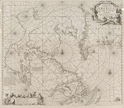
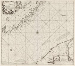
Sea chart a part of the coast of northern Canada a...
LZT16A27_381
Sea chart of the Strait of Gibraltar, Jan Luyken, ...
LZT16A27_425
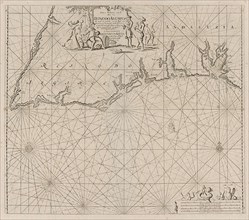
Sea chart of the east coast of England, with the m...
LZT16A27_434
Sea chart of part of the Elbe, the Weser and Jadeb...
LZT16A27_442
Sea chart of the Garonne, France, Johannes van Keu...
LZT16A27_352
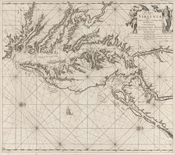
Sea chart of part of the coast of Virginia, Jan Lu...
LZT16A27_424
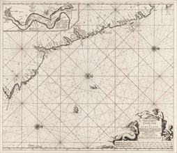
Sea chart of part of the northeast coast of Englan...
LZT16A27_435
Sea chart of a large part of the Wadden, Jan Luyke...
LZT16A27_355
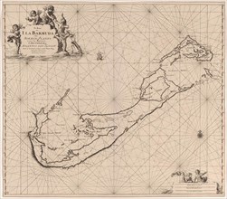
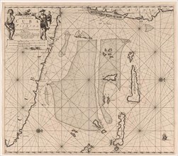
Sea chart of Bermuda, Jan Luyken, Claes Jansz Voog...
LZT16A27_432
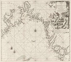
Sea chart of the coast of Norway, Jan Luyken, Joha...
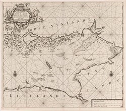
LZT16A27_433
Sea chart of part of the coast of Norway and Jutla...
LZT16A27_356
Sea chart of part of southeastern Florida and nort...
LZT16A27_365
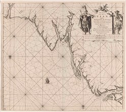
Sea chart of part of the coast of Suriname and Guy...
LZT16A27_374
Map of the coasts of the Adriatic, print maker: An...
LZT16A27_337
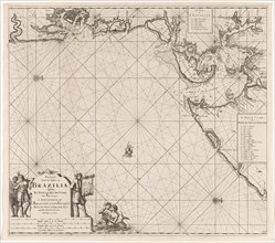
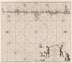
Sea chart of part of the coast of Brazil in the Mo...
LZT16A27_436
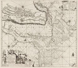
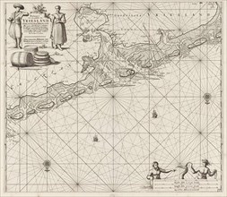
Sea chart of the Wadden Sea from Den Helder to Ter...
LZT16A27_336
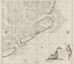
Sea map of part of the coast of Brazil, Jan Luyken...
LZT16A27_437
Sea chart of the Zuiderzee and the Wadden Sea, Jan...
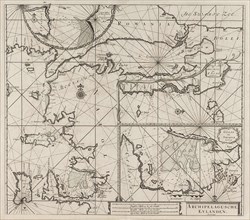
LZT16A27_416
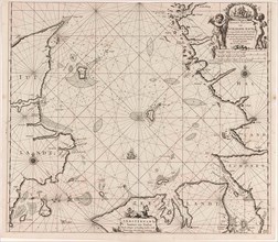
Map of the eastern part of the Gulf of Finland, Jo...
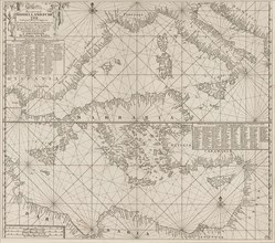
LZT16A27_370
Sea chart of the northeastern part of the Aegean S...
LZT16A27_417
Sea chart of the mouth of the Gulf of Finland in t...
LZT16A29_102
Bishop Mazarin close the peace treaty of Cherasco,...
LZT16A27_396
Map of part of the south coast of Ireland, Jan Luy...
LZT16A27_386
Sea map of part of the coast of Portugal, Jan Luyk...
LZT13A07_023