AGENCE PHOTOGRAPHIQUE
Photographes
Collections
Sujets
Contact
Mon compte
0
FR
English
Filtres
Universal Images Group
Catégorie
Cinéma
Personnalités
Histoire
Art
Illustration
Orientation
Vertical
Pano. vertical
Horizontal
Pano. horizontal
Carré
Licence
Libre de droits
Droits gérés
Model release
Property release
Couleur
Couleur
Noir et blanc
Âge
Bébé
Enfant
Adolescent
Adulte
Senior
Nb de personnes
Aucune
1
2
3
4
Plus
Collections
Photo12
Alamy
Période
9 résultats pour : 1750s maps
Page
sur
1
Connectez-vous pour plus de résultats
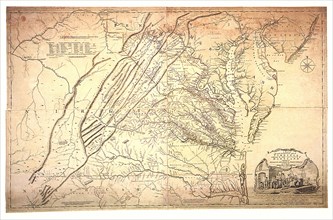
UMG22A69_264
A Map of the most Inhabited part of Virginia.
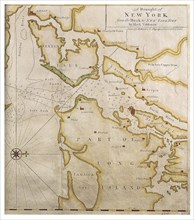
UMG22A69_245
The Tiddeman Chart.
UMG22A56_124
Géographie
UMG22A24_479
Vintage Maps / Antique Maps - A map of the British...
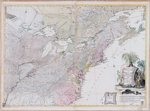
UMG22A30_048
Vintage Maps / Antique Maps - Theatrum belli in Am...
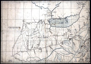
UMG22A30_050
Vintage Maps / Antique Maps - A trader's map of th...
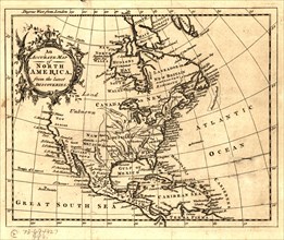
UMG22A26_042
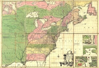
ca. 1750s - An Accurate map of North America from ...
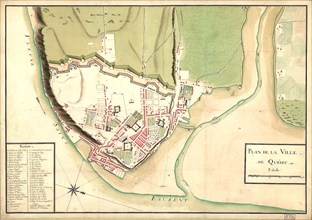
UMG22A30_103
Vintage Maps / Antique Maps - map of the city of Q...
UMG22A07_161
Reduced map of the northern parts of the world
Filtrer par dates
de
jusqu'à (optionnel)
Ajouter le signe moins (-) pour des dates avant Jésus-Christ (ex. : "-500")
Appliquer