10 résultats pour : 1860s maps
- Page
-
- sur
- 1
Connectez-vous pour plus de résultats
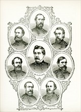
UMG25A01_402
American civil war, us civil war, Charleston harbo...
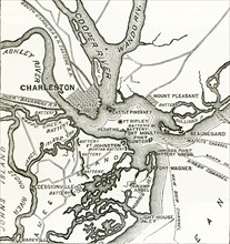
UMG25A01_401
Two forts stand at the entrance of Charleston Harb...
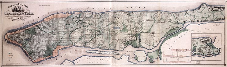
UMG22A69_248
Viele's Water Map.
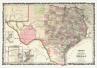
UMG22A69_272
Johnson's New Map of the State of Texas.
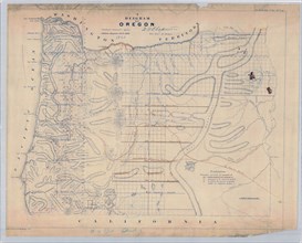
UMG21A19_349
A Diagram of Oregon (1860 Oregon Map).
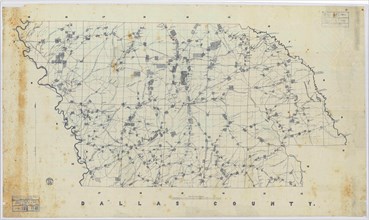
UMG21A19_348
Map of Dallas County, Arkansas Civil War era.
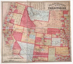
UMG21A17_083
New Map of the Territories
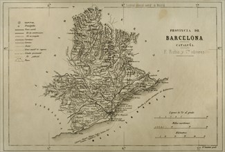
UMG21A15_460
Map. Province of Barcelona.
UMG21A15_450
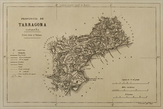
Map. Province of Tarragona.
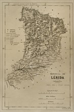
UMG21A15_444