58 résultats pour : 18th century world map
- Page
-
- sur
- 1
Connectez-vous pour plus de résultats
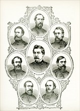
UMG25A01_402
American civil war, us civil war, Charleston harbo...
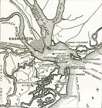
UMG25A01_401
Two forts stand at the entrance of Charleston Harb...
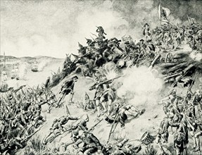
UMG25A00_453
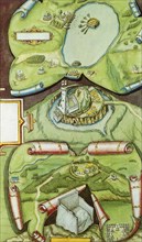
On June 17, 1775, early in the Revolutionary War (...
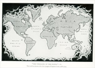
UMG24A07_010
This illustration dates to 1912 and is part of a s...
UMG23A62_334
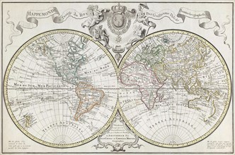
World map dating from the late 17th or early 18th ...
UMG23A61_164
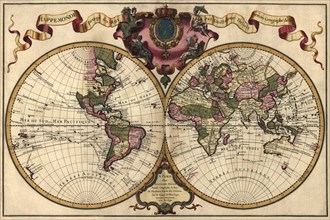
World Map.
UMG22A69_251
Americae pars, Nune Virginia dicta.
UMG22A69_257
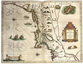
Nova Belgica et Anglia Nova.
UMG22A69_264
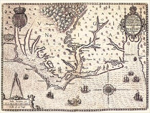
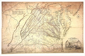
A Map of the most Inhabited part of Virginia.
UMG22A67_399
Head of the World.
UMG22A69_242
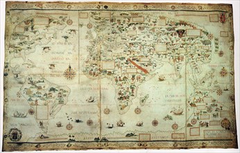
The Maggiolo Map.
UMG22A69_256
America noviter delineata.
UMG22A69_265
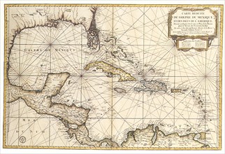
Carte reduite du Golphe de Mexique et des isles.
UMG22A69_255
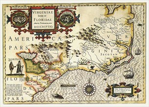
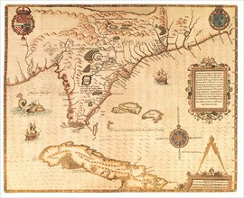
Virginiae Item et Floridae Americae Provinciarum n...
UMG22A69_254
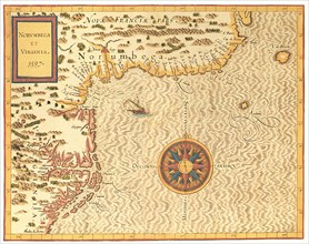
Norumbega et Virginia.
UMG22A65_277
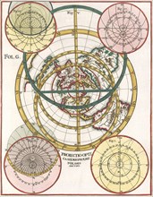
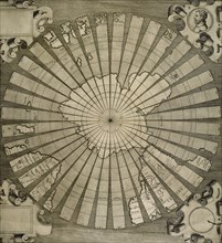
Polar Map 1702
UMG22A65_444
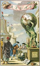
Atlas on Frontispiece
UMG22A69_253
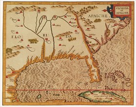
Florida et Apalche.
UMG22A69_260
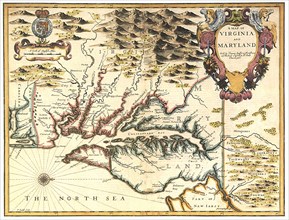
A Map of Virginia and Maryland.
UMG22A69_252
Floridae Americanae Provinciae Recens & exactissim...
UMG22A69_261
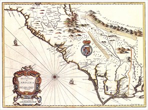
A New description of Carolina.
UMG22A69_262
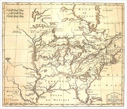
Le Cours du Fleuve Missisippi.
UMG22A69_250
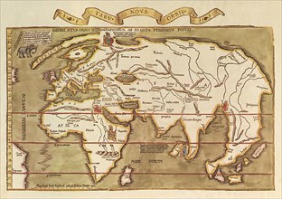
Tabu Nova Orbis.
UMG22A69_263
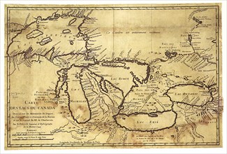
Carte des Lacs du Canada dressee sur les Manuscrit...
UMG22A65_274
Old World Irish Map 1600
UMG22A65_278
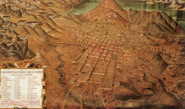
Map of Potosi, Peru 1758
UMG22A69_297
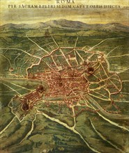
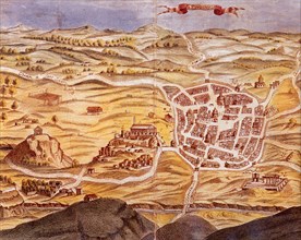
Plan of Athens.
UMG22A69_166
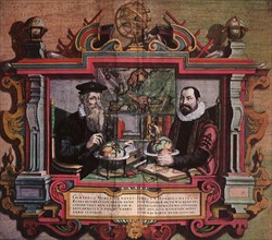
Mapmakers Gerard Mercator & Jodocus Hondius.
UMG22A69_259
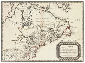
Le Canada,ou Nouvelle France.
UMG22A69_165
Map of the World.
UMG22A69_258
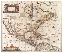
Amerca Septentrionalis.

UMG22A54_027
Géographie
UMG22A26_042
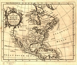
ca. 1750s - An Accurate map of North America from ...
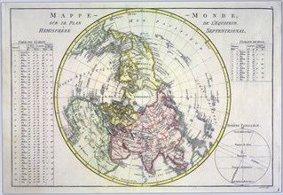
UMG22A06_497
World map on the plane of the equator. Northern He...
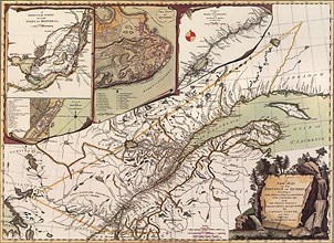
UMG21A17_320
Canada Map 1762
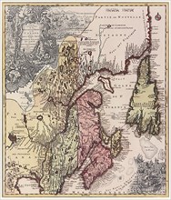
UMG21A17_322
Quebec Map 1776
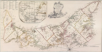
UMG21A17_321
Prince Edward Island 1775
UMG21A17_338
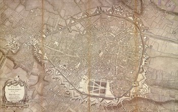
Brussels Topography 1777
UMG21A17_339
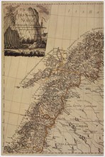
Map of Norway 1795
UMG20B38_193
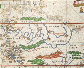
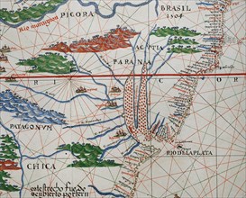
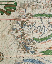
Amazon basin and two mouths.
UMG20B38_192
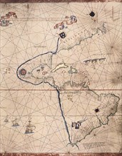
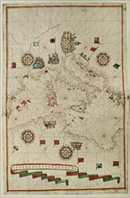
Portolan atlas.
UMG20B38_194
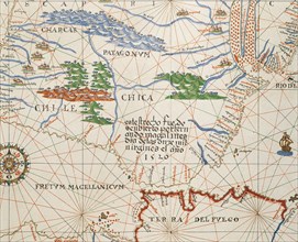
Strait of Magellan, Patagonia and Tierra de Fuego.
UMG20B38_189
Western Mediterranean.
UMG20B38_188
West Coast of the African Continent.
UMG20B38_191
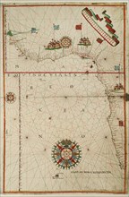
Portolan atlas.
UMG20B38_190
American west coast (Peru, Ecuador and Colombia).
UMG20B36_199
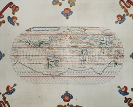
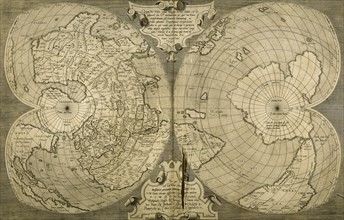
World map. South Pole. Map by Antonius Florianus. ...
UMG20B38_040
World map by Claudius Ptolemy (90-168). Engraving,...
UMG20B38_039
World map. Italian engraving. 16th century.
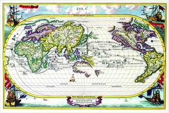
UMG20A04_104
Navigationes Precipae Europorum ad Exteras Natione...
UMG20A04_087
Stereographic Projection of the World with Latitud...
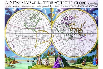
UMG20A04_098
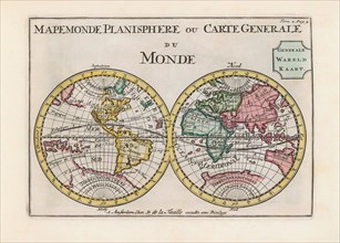
Mappe Monde Nouvelle 1744
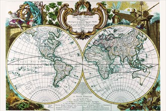
UMG20A04_141
Mappe-Monde Celeste Terrestre et Historique; Stere...
UMG20A04_097
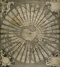
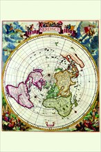
Polar Projection Map of the World 1700
UMG20A04_107
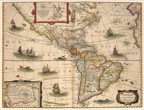
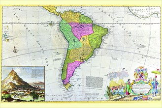
Antique Map of South America 1715
UMG20A04_112
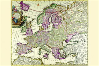
Europe 1700
UMG20A04_130
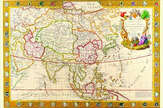
Asia 1732
UMG20A00_316