10 résultats pour : early maps united states
- Page
-
- sur
- 1
Connectez-vous pour plus de résultats
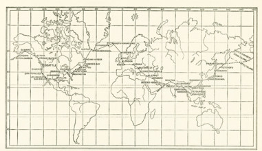
UMG25A05_438
The image dates to the early 1920s. Around the wor...
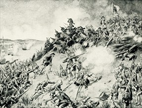
UMG25A00_453
On June 17, 1775, early in the Revolutionary War (...
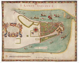
UMG22A65_276
New York Harbor 1664
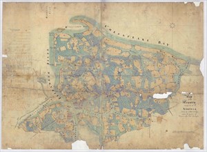
UMG21A19_351
Map of the Country Contiguous to Norfolk.
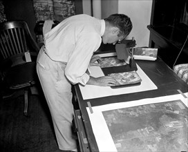
UMG21A21_003
A worker is shown making a stereoscopic examinatio...
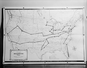
UMG21A21_365
1938 United States broadcasting map .
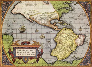
UMG21A17_218
New World, 1570
UMG21A17_244
New York in the Late 1600s
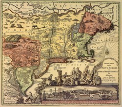
UMG21A17_283
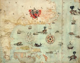
Map of South East North America
UMG20A01_314