12 résultats pour : map ancient rome
- Page
-
- sur
- 1
Connectez-vous pour plus de résultats
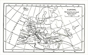
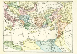
UMG25A01_165
This map of europe shows the principal ancient Rom...
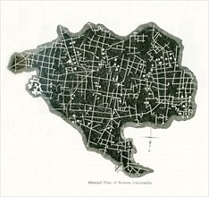
UMG24A06_482
This ground plan of Roman catacombs dates to 1897....
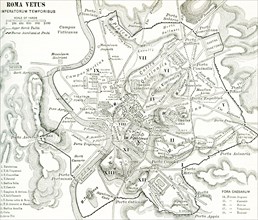
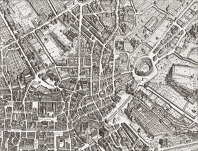
UMG24A06_477
This map of Rome shows the city during the period ...
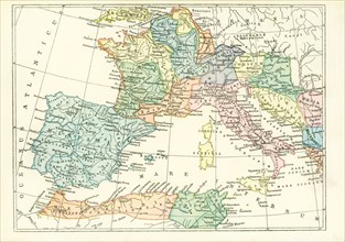
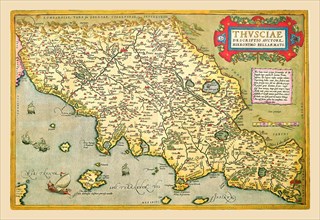
UMG24A06_475
This map dates to 1897 and shows the western Provi...
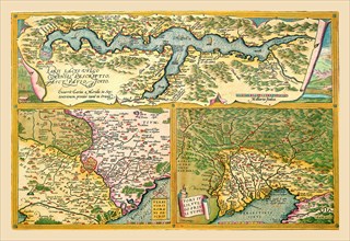
UMG24A06_476
This map dates to 1897 and shows the western Provi...
UMG23A61_153
Map of the centre of Rome.
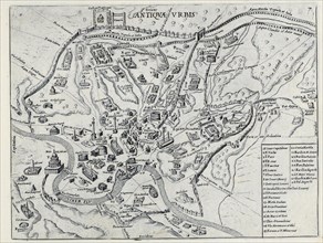
UMG22A41_211
Splendore Dell' Antica Roma, c.1625
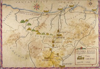
UMG21A15_393
Map of Cantabria.
UMG20B40_368
Sallust.
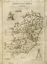
UMG20B36_187
Hybernia Nunc Irlant. Ireland. Map.
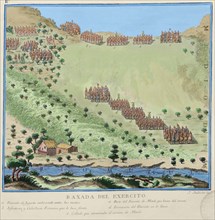
UMG20A00_078
Map of Italian Coast above Rome 1602
UMG20A00_077