36 résultats pour : map mediterranean sea
- Page
-
- sur
- 1
Connectez-vous pour plus de résultats
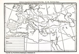
UMG25A06_182
This geographical and historical outline map focus...
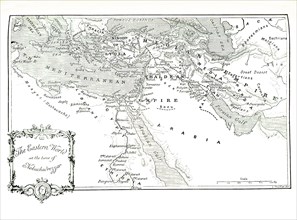
UMG25A01_202
This 1903 illustration shows a map of the eastern ...
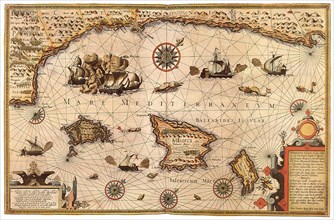
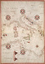
UMG22A65_272
Mediterranean Sea, 1595
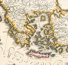
UMG21A18_097
Map of Greece 1650
UMG21A15_003
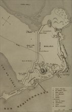
Napoleonic map of the Egyptian coast with the city...
UMG21A15_147
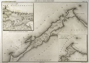
Map of Carthage and the Peninsula.
UMG21A14_498
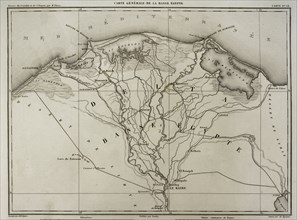
Napoleonic map of Lower Egypt.
UMG21A15_460
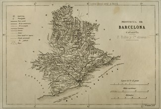
Map. Province of Barcelona.
UMG21A15_009
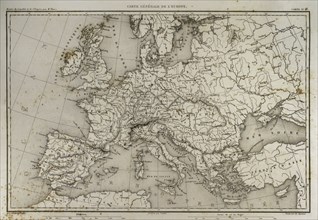
Napoleonic map of Europe.
UMG21A15_023
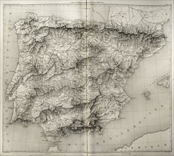
Napoleonic map. Spain and Portugal.

UMG20B37_202
The Catalan Atlas.
UMG20B38_189
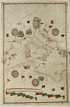
Western Mediterranean.
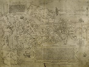
UMG20B38_038
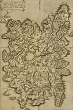
Map of Corsica. Italian engraving. 16th century.
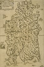
UMG20B38_037
Map of Sardinia. Mediterranean Sea. Italian engrav...
UMG20B36_196
Map of the British Isles. 16th century. 1543
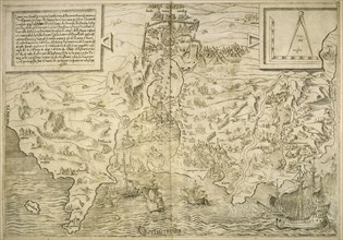
UMG20B36_186
Map of the cities of North Africa. 16th century.
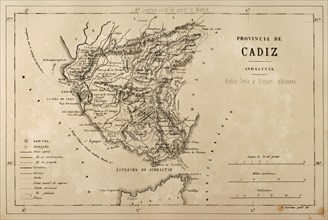
UMG20B24_490
Map of the Cadiz province, Andalusia, Spain, Croni...
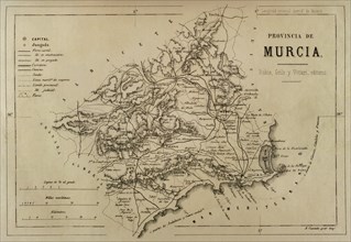
UMG20B24_469
Map of the province of Murcia, Cronica General de ...
UMG20A00_298
Portolan Map of Spain, England, Ireland & France 1...
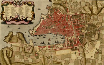
UMG20A01_238
Citadel at the ancient city of Merseille, France -...
UMG20A02_014
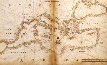
Portuguese maps of the Mediterranean Countries - 1...
UMG20A02_188
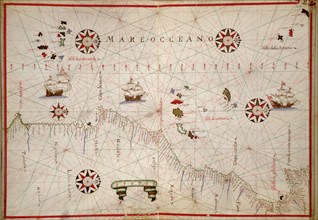
Portolan Chart of the Mediteranean & Connecting Se...
UMG20A02_189
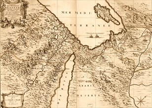
Deserts of Egypt 1693
UMG20A02_031
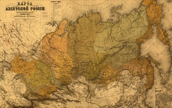
Asiatic Russia - 1868 1868
UMG20A01_241
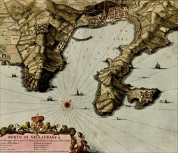
Villa Franca on the Mediterranean - 1700 1700
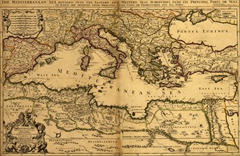
UMG20A02_030
Mediterranean Divied into its Principal Parts - 16...
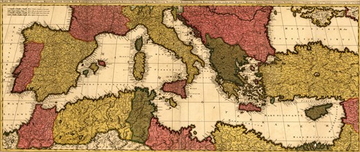
UMG20A02_029
Mediterranean Sea - 1680 1680
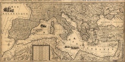
UMG20A02_028
Mediterranean Sea - 1695 1695

UMG20A02_027
Mediterranean Sea 1817
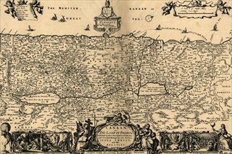
UMG20A01_451
Canaan, The Land of Promise - 1700 1700
UMG20A00_293
Portolan Map of Italy, Sicily, North Africa & the ...
UMG20A00_301
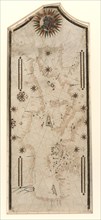
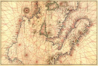
Portolan World Map 1620
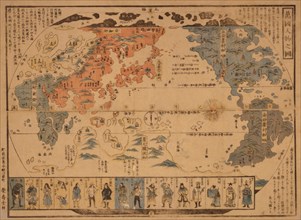
UMG20A00_300
Japanese Map of the World; People of Many Nations ...
UMG20A00_299
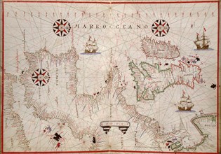
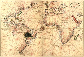
Portolan map of the African Coast 1590
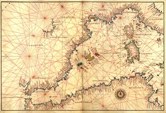
UMG20A00_297
Portolan atlas of the Mediterranean Sea, western E...
UMG20A00_290