109 résultats pour : old state maps
- Page
-
- sur
- 2
Connectez-vous pour plus de résultats
UMG25A00_453
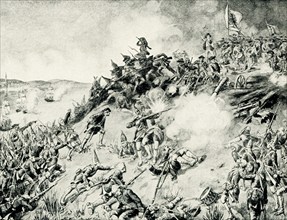
On June 17, 1775, early in the Revolutionary War (...
UMG22A69_243
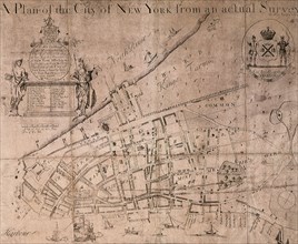
The Lyne-Bradford Plan.
UMG22A69_244
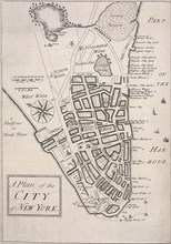
The Carwitham Plan and Char.
UMG22A69_251
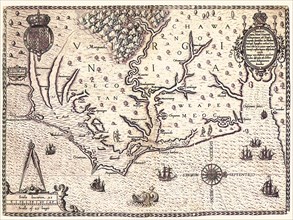
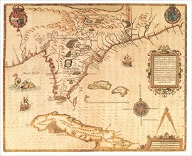
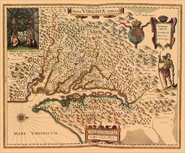
Americae pars, Nune Virginia dicta.
UMG22A69_257
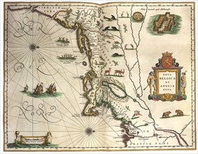
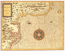
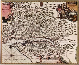
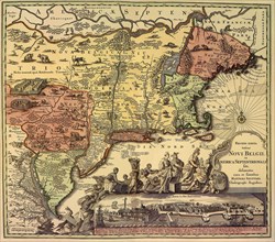
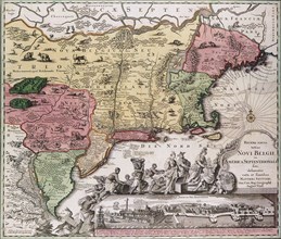
Nova Belgica et Anglia Nova.
UMG22A69_264
A Map of the most Inhabited part of Virginia.
UMG22A68_012
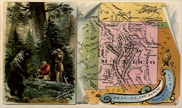
Bear vs. Frontiersmen.
UMG22A69_256
America noviter delineata.
UMG22A69_265
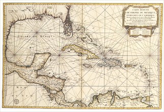
Carte reduite du Golphe de Mexique et des isles.
UMG22A69_245
The Tiddeman Chart.
UMG22A69_255
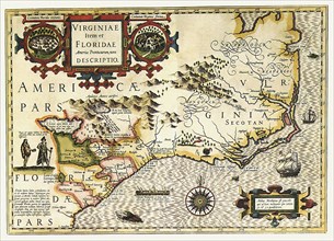
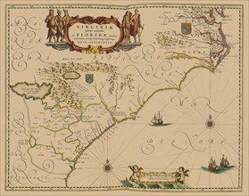
Virginiae Item et Floridae Americae Provinciarum n...
UMG22A69_266
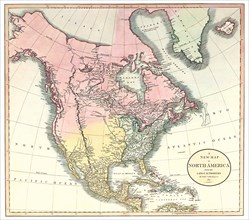
A New Map of North America.
UMG22A68_014
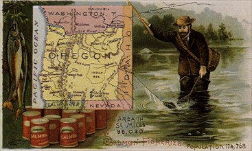
Oregon Salmon Fishing.
UMG22A69_254
Norumbega et Virginia.
UMG22A69_267
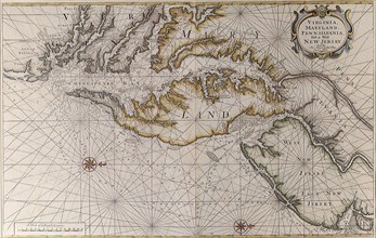
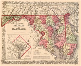
Virginia, Maryland and Delaware.
UMG22A68_013
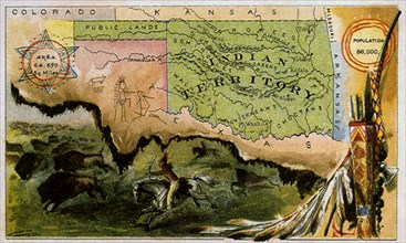
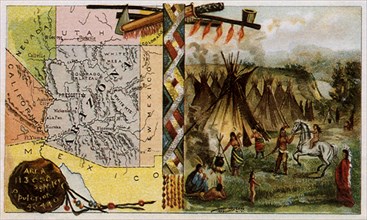
Indian Territory.
UMG22A69_247
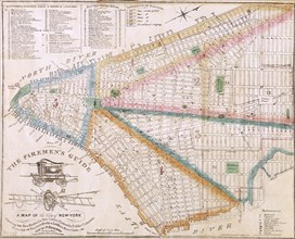
The Fireman's Guide.
UMG22A69_253
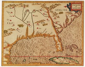
Florida et Apalche.
UMG22A69_260
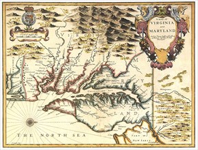
A Map of Virginia and Maryland.
UMG22A69_271
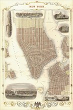
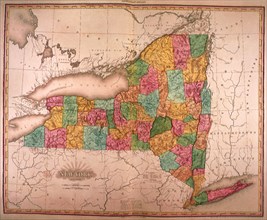
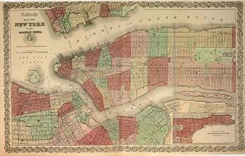
New York 1851.
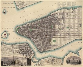
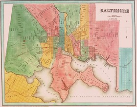
UMG22A67_453
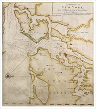
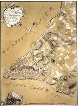
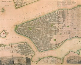
Map of New York City.
UMG22A69_246
The Ratzer Map.
UMG22A69_252
Floridae Americanae Provinciae Recens & exactissim...
UMG22A69_261
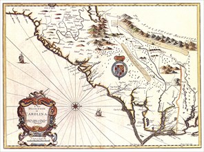
A New description of Carolina.
UMG22A69_270
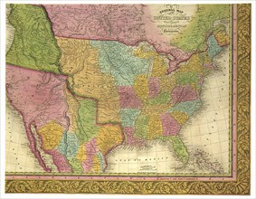
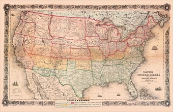
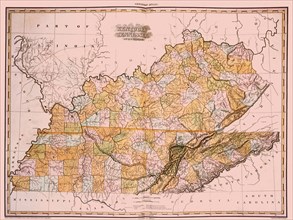
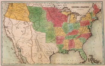
A General Map of the United States.
UMG22A68_006
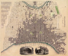
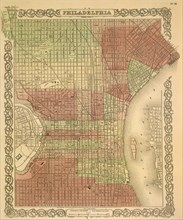
Map of Philadelphia.
UMG22A69_262
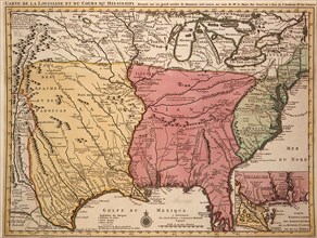
Le Cours du Fleuve Missisippi.
UMG22A69_248
Viele's Water Map.
UMG22A69_263
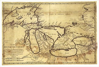
Carte des Lacs du Canada dressee sur les Manuscrit...
UMG22A69_272
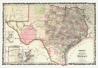
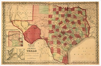
Johnson's New Map of the State of Texas.
UMG22A67_452
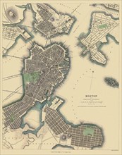
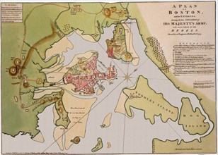
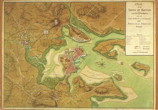
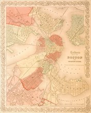
Map of Boston.
UMG22A65_276
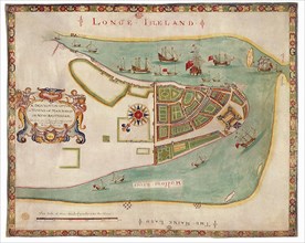
New York Harbor 1664
UMG22A67_391
Savannah, Georgia.
UMG22A67_388
Attack on St. Augustine.
UMG22A68_003
Arizona and Plains People.
UMG22A69_268
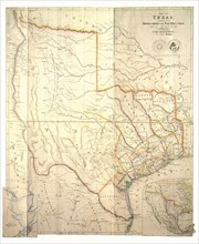
Map of Texas.
UMG22A67_395
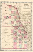
Kansas and Nebraska.
UMG22A69_269
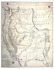
Map of Oregon and Upper California.
UMG22A67_398
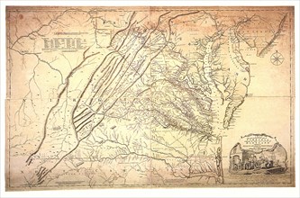
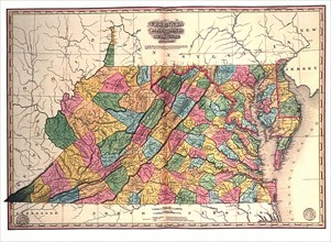
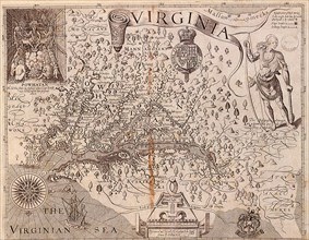
Map of Virginia.
UMG22A69_259
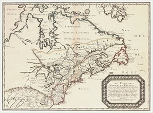
Le Canada,ou Nouvelle France.
UMG22A67_389
Virginia.
UMG22A69_258
Amerca Septentrionalis.
UMG22A65_408
View of Saint Petersburg
UMG22A17_439
1936 Resettlement Administration Projects Map CA 1...

UMG21A19_245
Two old soldiers
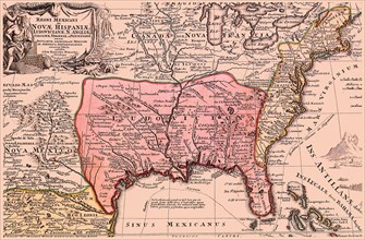
UMG21A17_186
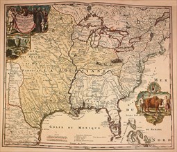
Louisiana Territory, 1720
UMG21A17_269
How the Battle Lines Were Drawn
UMG21A17_193
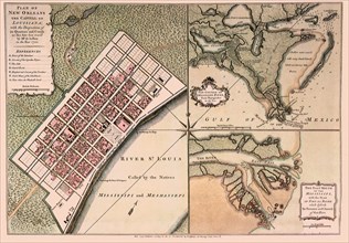
A Very New New Orleans
UMG21A17_218
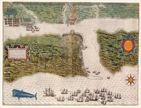
New World, 1570
UMG21A17_174
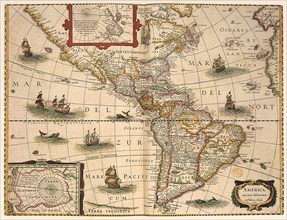
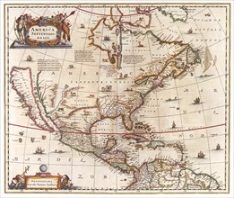
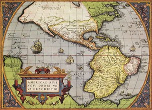
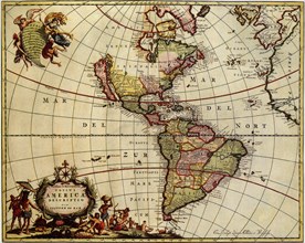
North and South America
UMG21A17_083
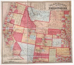
New Map of the Territories
UMG21A17_103
The Largest State—1863
UMG21A17_112
North-South Sympathies
UMG21A17_268
Chesapeake, Delaware & Jersey Coastlines, 1689
UMG21A17_255
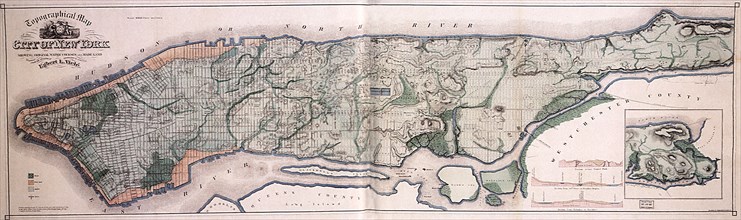
New York State
UMG21A17_224
Map of Boston and Environs. 1776
UMG21A17_212
A Plan of the City of New York and Its Environs
UMG21A17_249
New York
UMG21A17_343
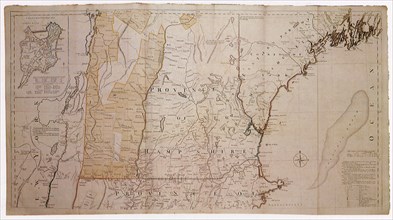
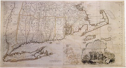
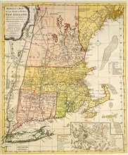
Map of New England 1774
UMG21A17_105
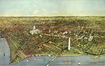
Washington D.C. 1865
UMG21A17_253
The First Territorial Expansion —1823
UMG21A17_344
Map of New England 1774
UMG21A17_381
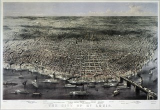
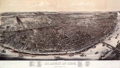
Aerial View of Saint Louis. 1874
UMG21A17_385
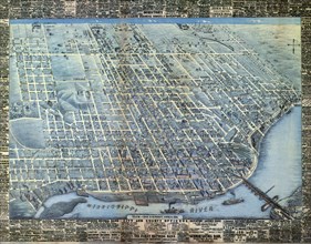
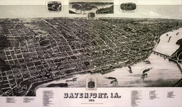
Aerial Map of Davenport. 1881
UMG21A17_081
Smith a la Blaeu
UMG21A17_090
Planned Communities
UMG21A17_118
The Philadelphia Grid—1865
UMG21A17_382
1896 View of Saint Louis.
UMG21A17_386
Map of Davenport. 1888

UMG21A18_164
Map of Italy 1631
UMG21A17_059
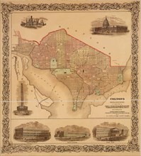
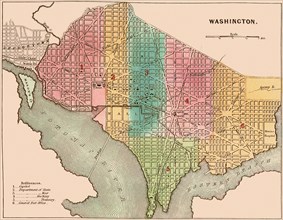
The City of Washington
UMG21A17_082
The Massacre of Matanzas Inlet
UMG21A17_086
Map of New England 1776
UMG21A17_111
New York a Century Ago
UMG21A17_171
New Orleans and the Gulf
UMG21A17_117
The Original District of Columbia—1865
UMG21A17_244
New York in the Late 1600s
UMG21A17_323
New Discoveries 1776
UMG21A17_335
New England 1760
UMG21A17_380
1848 Map of St. Louis 1848
UMG21A17_007
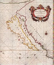
California, 1666
UMG21A17_089
From Territories to States
UMG21A17_092
Planned Communities
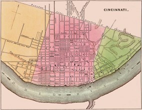
UMG21A17_114
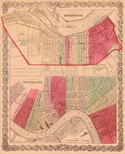
The City of Louisville; The City of New Orleans
UMG21A17_116
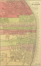
The City of St. Louis
UMG21A17_227
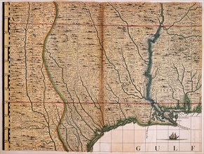
Louisiana and Gulf, 1733

UMG21A17_283
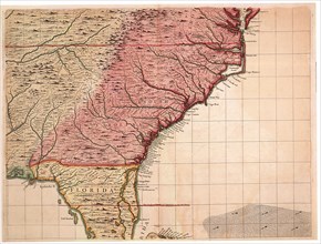
Map of South East North America
UMG21A17_359
Chicago Railway Map 1887
UMG21A17_379
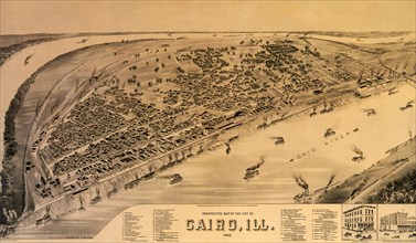
Perspective Map of Cairo. 1888
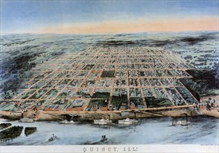
UMG21A17_384
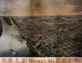
View of Quincy. 1878
UMG21A17_088
Explosive Growth—1837
UMG21A17_106
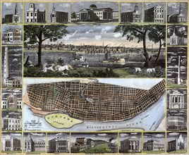
Boston’s famous buildings
UMG21A17_115
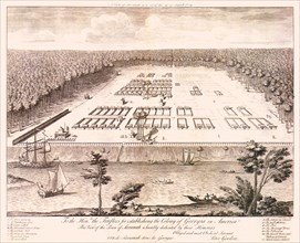
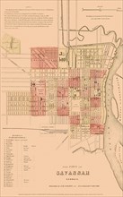
The City of Savannah Georgia
UMG21A17_228
Border Disputes
UMG21A17_260
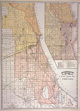
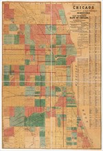
Official Guide Map of Chicago
UMG21A17_383
1859 Map of Quincy Illinois
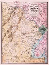
UMG21A17_070
Bacon’s New Army Map of the Seat of War in Virgini...
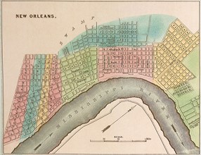
UMG21A17_087
Plan of New Orleans 1837

UMG21A17_109
Map of Kansas, Nebraska, Dakota & Indian Territory
UMG21A17_185
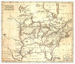
Missisippi River Map, 1723
- Page
-
- sur
- 2