14 résultats pour : portuguese indies
- Page
-
- sur
- 1
Connectez-vous pour plus de résultats
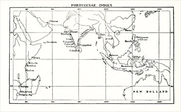
UMG25A01_169
This map shows the Portuguese exploits in the Indi...
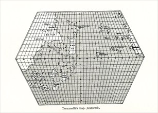
UMG25A01_156
Toscanelli’s Map (Restored). Toscanelli (1397 –14...
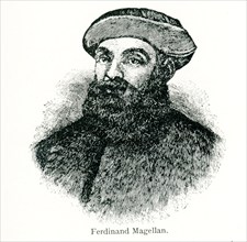
UMG25A01_159
This illustration dates to 1902. Ferdinand Magella...
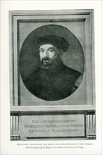
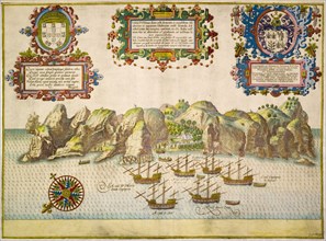
UMG24A06_499
This illustration dates to 1912 and the caption re...
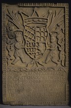
UMG23A45_424
Commemorative stone plaque.

UMG22A45_424
Dom Vasco da Gama
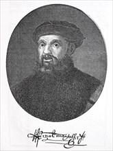
UMG21A02_015
Ferdinand Magellan

UMG20B25_024
Ferdinand Magellan, Portuguese navigator and explo...
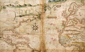
UMG20A01_499
Portugese Navigational Map of the North Atlantic -...
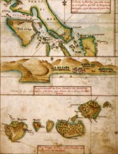
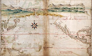
UMG20A02_006
Portuguese Map of the East Indies & Philippines - ...
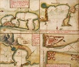
UMG20A01_498
Ports in the West Indies - 1630 1630
UMG20A02_007
Portuguese map of the North Pacific - 1630 1630
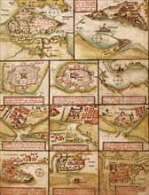
UMG20A01_492
Portuguese map of Fortified Cities on the Coast of...
UMG12A07_434