324 résultats pour : united states map
- Page
-
- sur
- 4
Connectez-vous pour plus de résultats
UMG25A05_353
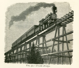
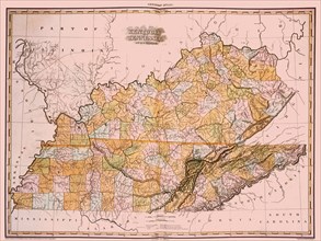
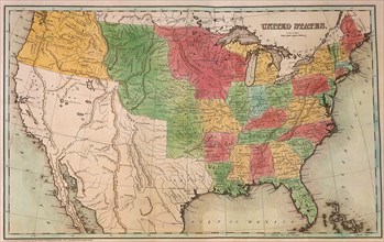
This illustration dates to the 1870s and shows a t...
UMG25A05_438
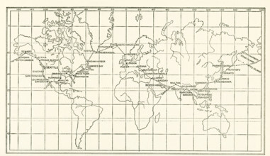
The image dates to the early 1920s. Around the wor...
UMG25A00_453
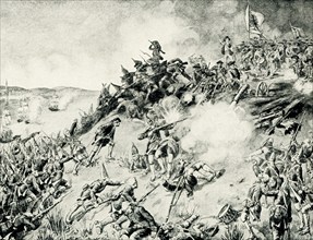
On June 17, 1775, early in the Revolutionary War (...
UMG24A16_123
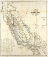
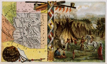
California Resources Map In 1866
UMG23A59_243
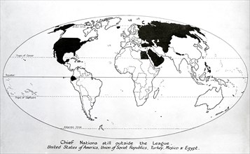
Map of 1920, Chief nations still outside the leagu...
UMG23A56_245
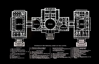
Principal Story Of The Capitol Building.

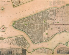
UMG23A56_183
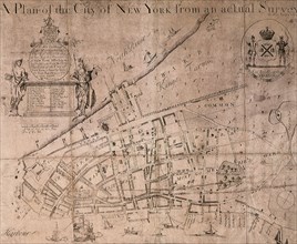
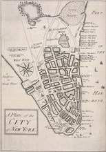
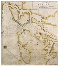
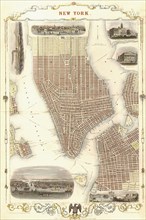
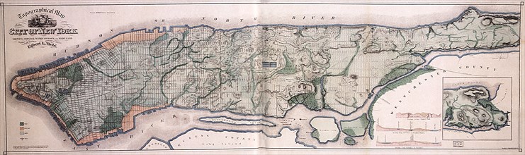
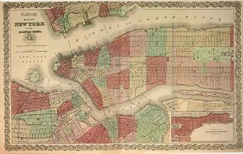
New York

UMG23A55_177
Chrysler New Yorker Deluxe
UMG22A69_243
The Lyne-Bradford Plan.
UMG22A69_244
The Carwitham Plan and Char.
UMG22A69_251
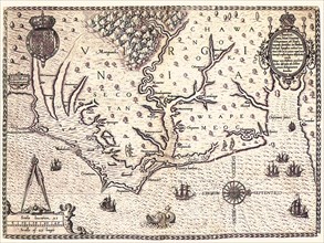
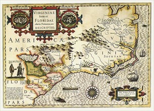
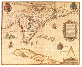
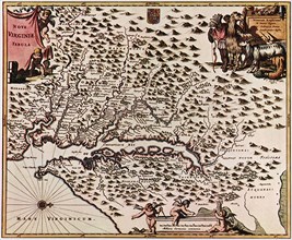
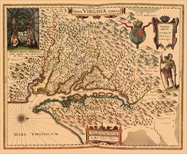
Americae pars, Nune Virginia dicta.
UMG22A69_257
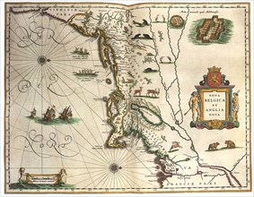
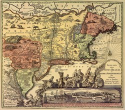
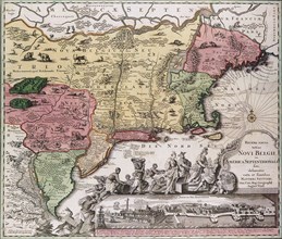
Nova Belgica et Anglia Nova.
UMG22A69_264
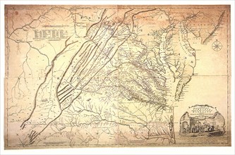
A Map of the most Inhabited part of Virginia.
UMG22A68_012
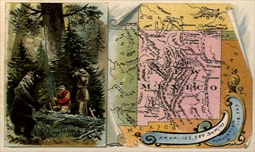
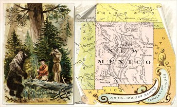
Bear vs. Frontiersmen.
UMG22A69_256
America noviter delineata.
UMG22A69_265
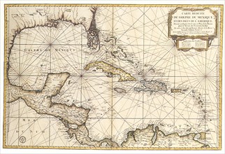
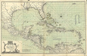
Carte reduite du Golphe de Mexique et des isles.
UMG22A69_245
The Tiddeman Chart.
UMG22A69_255
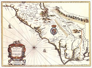
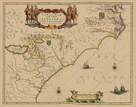
Virginiae Item et Floridae Americae Provinciarum n...
UMG22A69_266
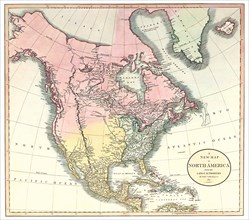
A New Map of North America.
UMG22A68_014
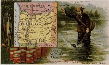
Oregon Salmon Fishing.
UMG22A69_254
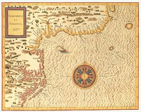
Norumbega et Virginia.
UMG22A69_267
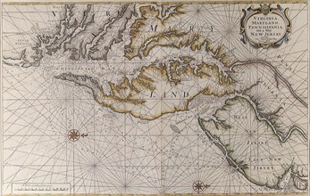
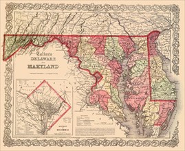
Virginia, Maryland and Delaware.
UMG22A68_013
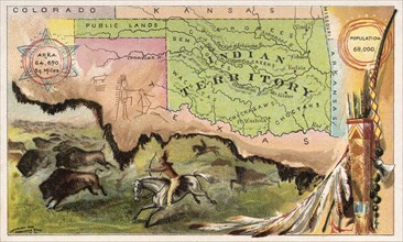
Indian Territory.
UMG22A69_247
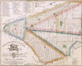
The Fireman's Guide.
UMG22A69_253
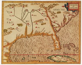
Florida et Apalche.
UMG22A69_260
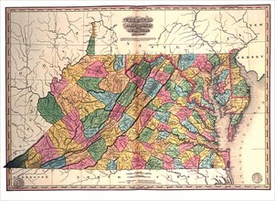
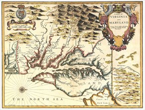
A Map of Virginia and Maryland.
UMG22A69_271
New York 1851.
UMG22A69_246
The Ratzer Map.
UMG22A69_252
Floridae Americanae Provinciae Recens & exactissim...
UMG22A69_261
A New description of Carolina.
UMG22A69_270
A General Map of the United States.
UMG22A69_262
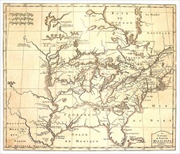
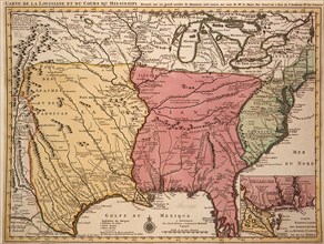
Le Cours du Fleuve Missisippi.
UMG22A69_248
Viele's Water Map.
UMG22A69_263
Carte des Lacs du Canada dressee sur les Manuscrit...
UMG22A69_272
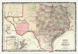
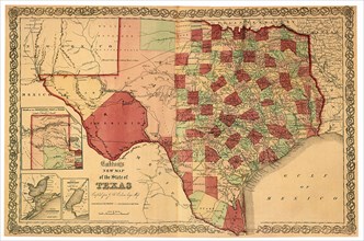
Johnson's New Map of the State of Texas.
UMG22A65_276
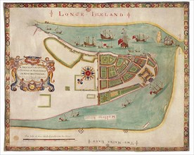
New York Harbor 1664
UMG22A67_391
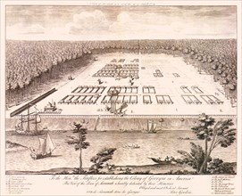
Savannah, Georgia.
UMG22A67_388
Attack on St. Augustine.
UMG22A68_003
Arizona and Plains People.
UMG22A69_268
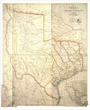
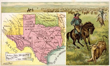
Map of Texas.
UMG22A67_395
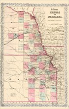
Kansas and Nebraska.
UMG22A69_269
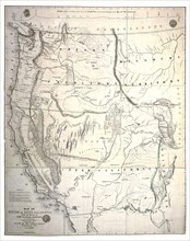
Map of Oregon and Upper California.
UMG22A67_398
Map of Virginia.
UMG22A69_259
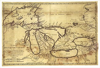
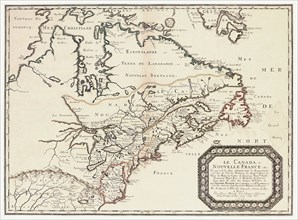
Le Canada,ou Nouvelle France.
UMG22A67_297
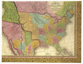
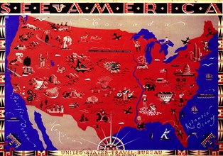
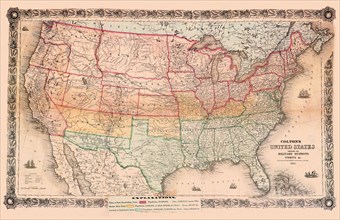
Map of United States.
UMG22A67_389
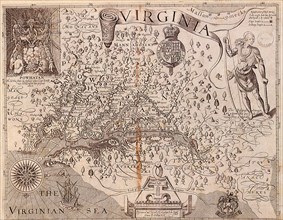
Virginia.
UMG22A69_258
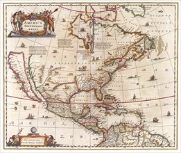
Amerca Septentrionalis.
UMG22A52_156
Texas - Arbuckel Bros.
UMG22A52_155
New Mexico Territory
UMG22A52_154
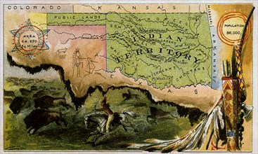
Indian Territory
UMG22A51_197
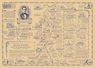
Abraham Lincoln's Visit to Massachusetts
UMG22A48_401
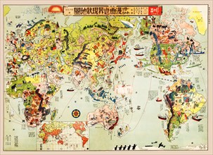
Cartoon Map of the Current World Situation
UMG22A47_259
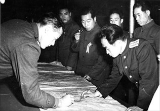
Col James C Murray and Col Chang Chun San

UMG22A27_082
Young America hams and breakfast bacon, E.S. Baker...
UMG22A30_053
Vintage Maps / Antique Maps - To His Royal Highnes...
UMG22A17_439
1936 Resettlement Administration Projects Map CA 1...
UMG22A20_278
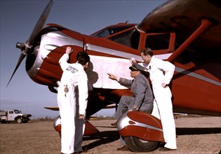
Instructor and students studying a map
UMG22A03_441
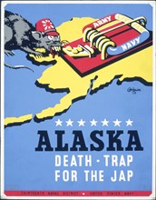
Alaska - death-trap for the Jap
UMG22A00_306
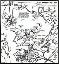
Map of Pearl Harbor
UMG21A19_351
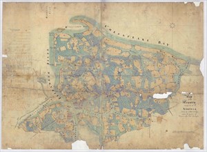
Map of the Country Contiguous to Norfolk.
UMG21A21_003
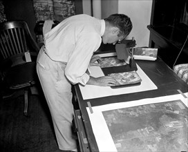
A worker is shown making a stereoscopic examinatio...
UMG21A21_365
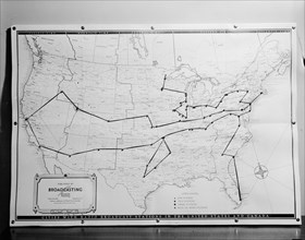
1938 United States broadcasting map .
UMG21A19_245
Two old soldiers
UMG21A18_402
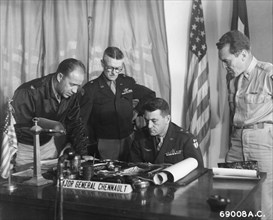
Major Gen. Claire Chennault of the US Air Force (s...
UMG21A17_186
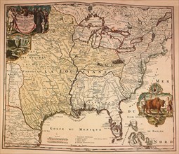
Louisiana Territory, 1720
UMG21A17_269
How the Battle Lines Were Drawn
UMG21A17_193
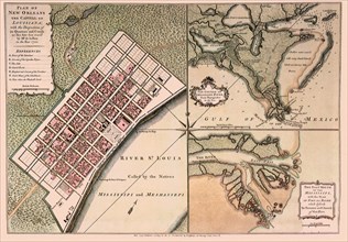
A Very New New Orleans
UMG21A17_218
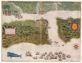
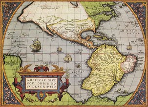
New World, 1570
UMG21A17_174
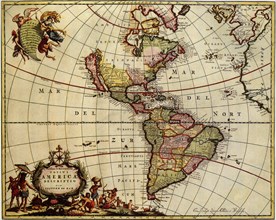
North and South America
UMG21A17_083
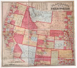
New Map of the Territories
UMG21A17_103
The Largest State—1863
UMG21A17_112
North-South Sympathies
UMG21A17_268
Chesapeake, Delaware & Jersey Coastlines, 1689
UMG21A17_255
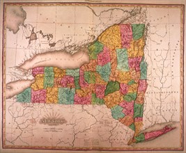
New York State
UMG21A17_224
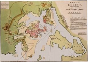
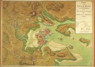
Map of Boston and Environs. 1776
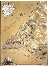
UMG21A17_212
A Plan of the City of New York and Its Environs
UMG21A17_249
New York
UMG21A17_343
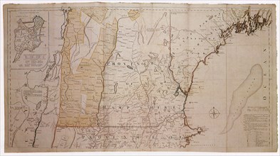
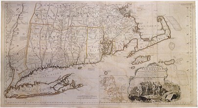
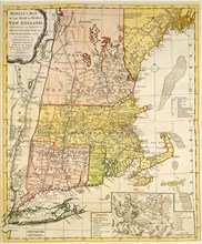
Map of New England 1774
UMG21A17_105
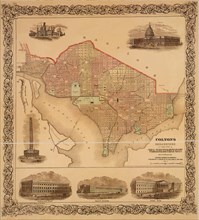
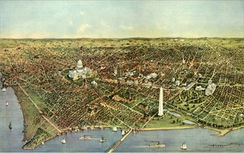
Washington D.C. 1865
UMG21A17_253
The First Territorial Expansion —1823
UMG21A17_344
Map of New England 1774
UMG21A17_381
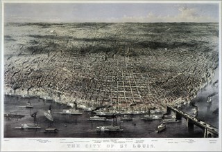
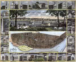
Aerial View of Saint Louis. 1874
UMG21A17_385
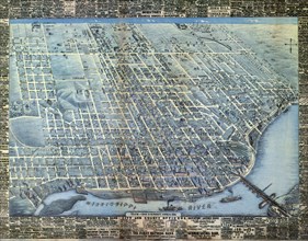
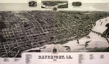
Aerial Map of Davenport. 1881
UMG21A17_081
Smith a la Blaeu
UMG21A17_090
Planned Communities
UMG21A17_118
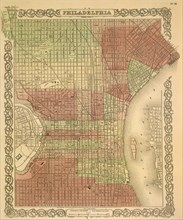
The Philadelphia Grid—1865
UMG21A17_382
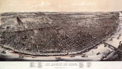
1896 View of Saint Louis.
UMG21A17_386
Map of Davenport. 1888
UMG21A17_059
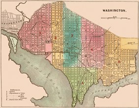
The City of Washington
UMG21A17_082
The Massacre of Matanzas Inlet
UMG21A17_086
Map of New England 1776
UMG21A17_111
New York a Century Ago
UMG21A17_171
New Orleans and the Gulf
UMG21A17_117
The Original District of Columbia—1865
UMG21A17_244
New York in the Late 1600s
UMG21A17_323
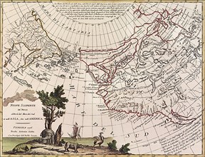
New Discoveries 1776
UMG21A17_335
New England 1760
UMG21A17_380
1848 Map of St. Louis 1848
UMG21A17_007
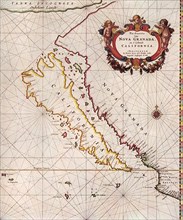
California, 1666
UMG21A17_089
From Territories to States
- Page
-
- sur
- 4