21 résultats pour : virginia antique
- Page
-
- sur
- 1
Connectez-vous pour plus de résultats
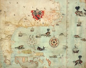
UMG22A69_251
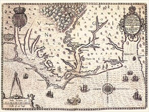
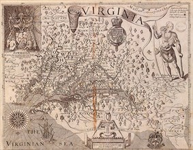
Americae pars, Nune Virginia dicta.
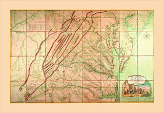
UMG22A69_264
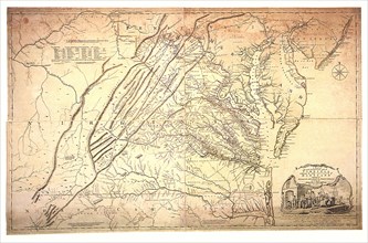
A Map of the most Inhabited part of Virginia.
UMG22A69_255
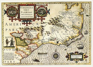
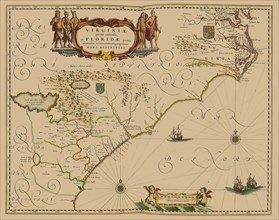
Virginiae Item et Floridae Americae Provinciarum n...
UMG22A69_254
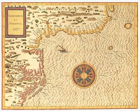
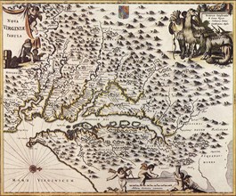
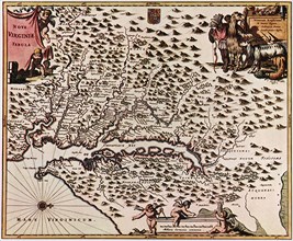
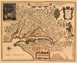
Norumbega et Virginia.
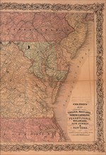
UMG22A69_267
Virginia, Maryland and Delaware.
UMG22A69_260
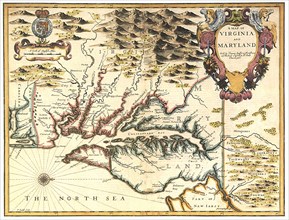
A Map of Virginia and Maryland.
UMG22A69_171
Map of Chesapeack Bay and Virginia.
UMG22A67_398
Map of Virginia.
UMG22A67_389
Virginia.
UMG21A19_351
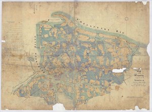
Map of the Country Contiguous to Norfolk.
UMG21A17_081
Smith a la Blaeu
UMG21A17_082
The Massacre of Matanzas Inlet
UMG21A17_283
Map of South East North America
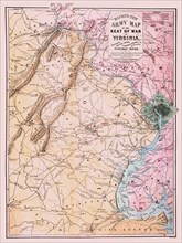
UMG21A17_070
Bacon’s New Army Map of the Seat of War in Virgini...
UMG21A17_107
L’Enfant’s Washington—1865
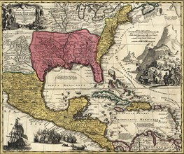
UMG20B19_329
Regni Mexicani seu Novae Hispaniae
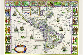
UMG20A04_113
Map of the Americas 1628
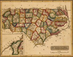
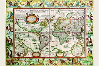
UMG20A01_114
North Carolina - 1817
UMG20A04_110
New Map of the Americas 1650
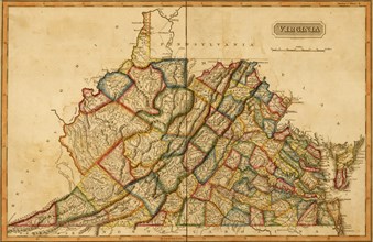
UMG20A01_113
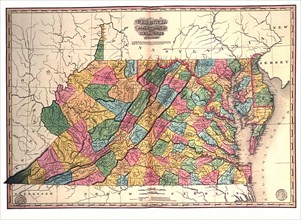
Virginia - 1817
UMG20A00_054