16 résultats pour : working map
- Page
-
- sur
- 1
Connectez-vous pour plus de résultats
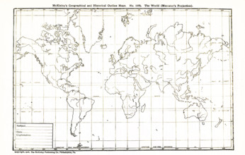
UMG25A06_183
This geographical and historical outline map shows...
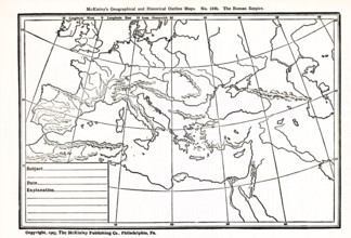
UMG25A06_182
This geographical and historical outline map focus...
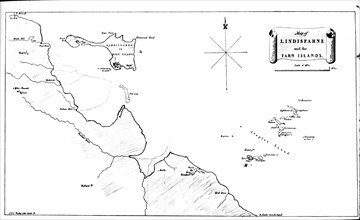
UMG23A59_426
Map Of Lindisfarne and farn.
UMG22A86_424
cartographe, graveur, 1954
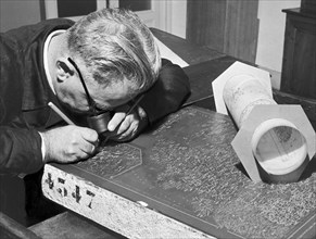
UMG22A87_064
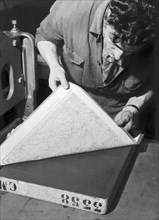
bureau de cartographie, exécution d'un moulage à p...
UMG22A86_426
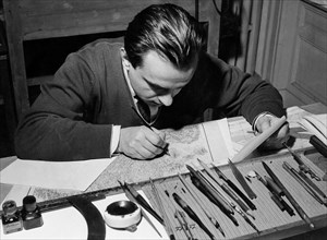
bureau cartographique, dessinateur, 1954
UMG22A76_036
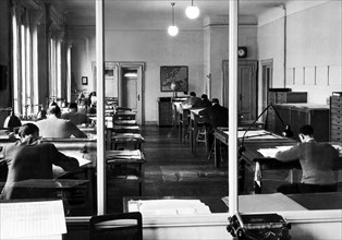
cartographic office, 1954
UMG22A13_149
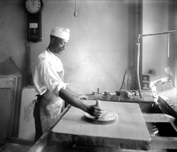
African American man in the process of map making,...
UMG21A21_280
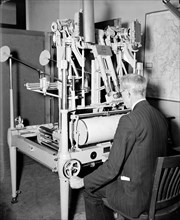
Geological Survey, Dept. Interior. Washington, D.C...
UMG20A04_113
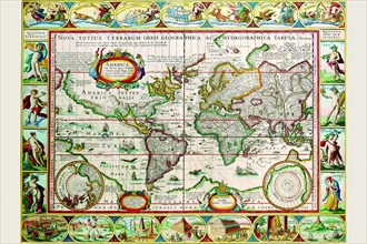
Map of the Americas 1628
UMG20A04_091
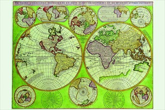
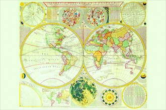
Stereographic World Map with Insets of Polar Proje...
UMG20A04_133
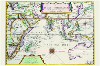
Indies Orientales; Southeast Asia 1680
UMG20A04_121
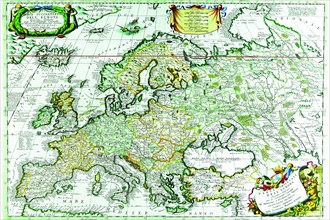
Europe 1690
UMG20A04_122
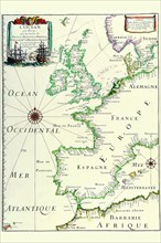
Europe 1641
UMG20A03_114
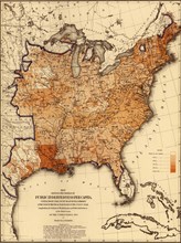
Public Indebtedness in 1870 1870
UMG20A04_139