27 results for: water level marking
- Page
-
- of
- 1
Please sign in for more results
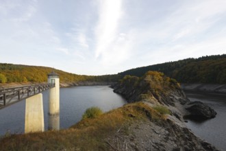
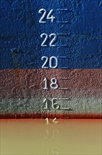
BRK25C20_083
Bottom outlet tower of the Urft dam with markings ...
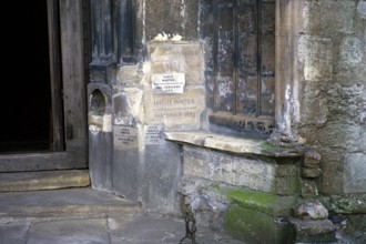
BRK25B11_295
Flood levels recorded on the wall of St Margaret's...
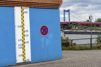
BRK25B26_375
Flood marks on the Rhine at Duisburg-Homberg, wate...
BRK25A33_195
Rainy weather in Dresden city centre. Due to the h...
BRK24I78_462
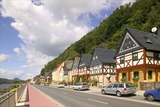
The surviving half-timbered houses nos. 55-67, the...
BRK24I42_265
Flood marks on the Rhine at Duisburg-Homberg, wate...
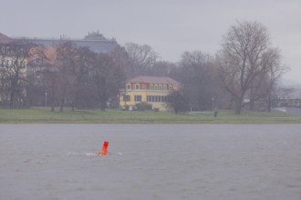
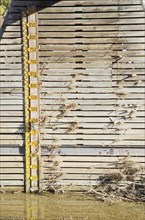
BRK24G17_445
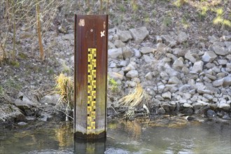
Yellow metric flood level marker in river with low...
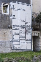
BRK24D62_310
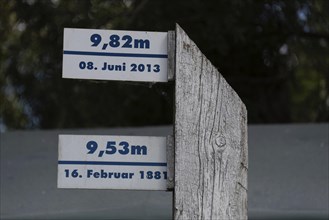
Wooden posts with flood marks and historical flood...
BRK24D66_113
Wooden post with high water mark of the Elbe, Hohe...
BRK24B85_480
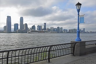
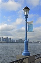
Street lamp marking the potential future flood lev...
BRK24B89_272
Street light marking the potential future flood le...
BRK24B53_123
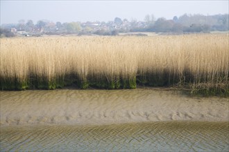
Reedbeds at low tide, River Alde, Snape, Suffolk, ...
BRK23F63_168
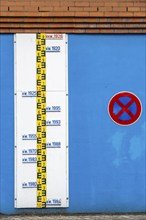
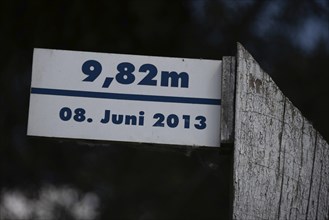
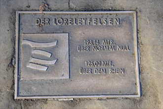
Information sign Marking metal ground plate with a...
BRK23D54_341
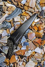
Eocene shark's tooth fossil on tideline
BRK23D54_342
Eocene shark's tooth fossil on tideline
BRK23D54_339
Eocene shark's tooth fossil on tideline

BRK23D54_340
Eocene shark's tooth fossil on tideline
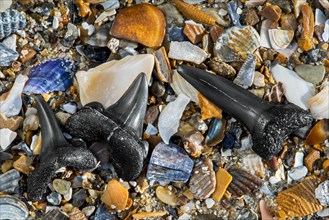
BRK23D54_334
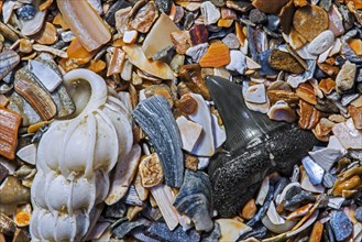
Fossilized Eocene sharks' teeth on tideline

BRK23D54_343
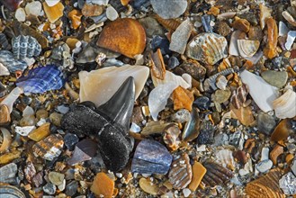
Eocene shark teeth fossils and fossilized fish ver...
BRK22I85_377
Flood marks

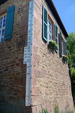
BRK22D87_316
Water level marking of the river Main at a house i...
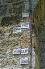
BRK22D87_323
High-water marks at the Kittsteintor, Wertheim am ...
BRK22B54_458
Markings
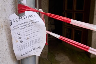
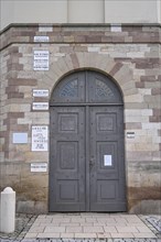
BRK22A35_213
Note explaining markings on a destroyed house in W...
BRK19G10_424
Level on a flow breaker with flotsam on the Salzac...
BRK19G11_335
Flood levels on a house wall
BRK19E74_078