Sujet
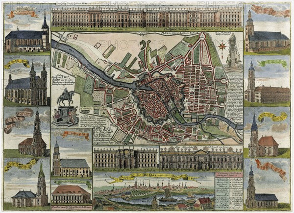
Map of Berlin in the late 17th century
Légende
Map of Berlin in the late 17th century, showing the fortress and numerous churches
Crédit
Photo12/Ann Ronan Picture Library
Notre référence
ARP11A00_206
Licence
Droits gérés
Format disponible
50,3Mo (8,5Mo) / 41,7cm x 30,3cm / 4920 x 3575 (300dpi)