Sujet
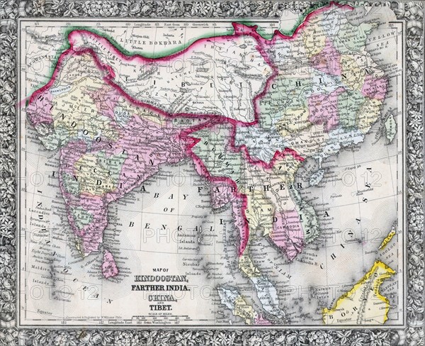
19th Century Map of India, Tibet, China and Southeast Asia
Légende
19th Century Map of India, Tibet, China and Southeast Asia. Dated 1864
Date
1864
Crédit
Photo12/Ann Ronan Picture Library
Notre référence
ARP18A16_372
Licence
Droits gérés
Format disponible
60,0Mo (6,3Mo) / 43,0cm x 35,0cm / 5074 x 4133 (300dpi)