Sujet
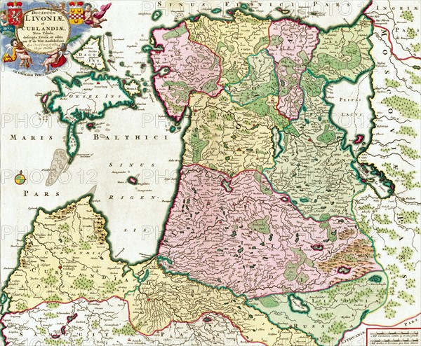
Ducatuum Livoniæ et Curlandiæ Nova Tabula
Légende
Ducatuum Livoniæ et Curlandiæ Nova Tabula by Frederik de wit. Map shows the Baltic Sea and neighbouring areas. Dated 18th Century
Date
1754
Crédit
Photo12/Ann Ronan Picture Library
Notre référence
ARP18A26_185
Licence
Droits gérés
Format disponible
19,0Mo (2,2Mo) / 24,0cm x 19,8cm / 2835 x 2337 (300dpi)