Sujet
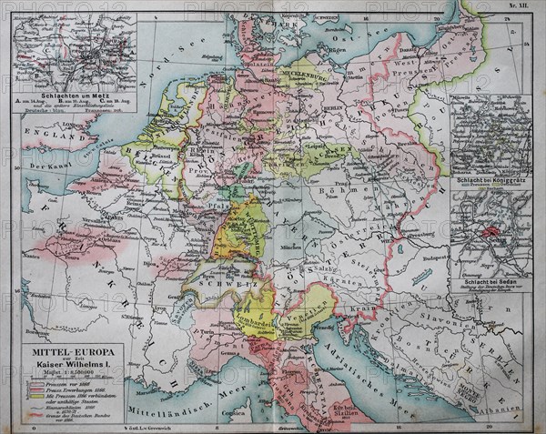
Map of Central Europe at the time of Kaiser Wilhelm I
Légende
Map of Central Europe at the time of Kaiser Wilhelm I, 1880, historical illustration, Italy, Europe
Date
19e siècle
Crédit
Photo12/imageBROKER/BAO
Notre référence
BRK19I65_361
Model release
Non
Licence
Droits gérés
Format disponible
50,0Mo (2,7Mo) / 39,7cm x 31,6cm / 4686 x 3730 (300dpi)