Sujet
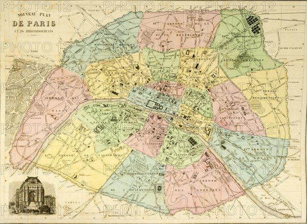
Historical city map of Paris around 1850
Légende
Historical city map of Paris around 1850, France, Europe
Date
15 juin 2018
Crédit
Photo12/imageBROKER/Rolf Fischer
Notre référence
BRK20A02_282
Model release
NA
Property release
NA
Licence
Droits gérés
Format disponible
62,4Mo (3,5Mo) / 46,2cm x 33,9cm / 5456 x 4000 (300dpi)